Tag: walking
-
Arch Rivals
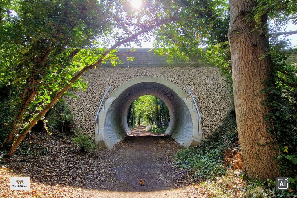
A social media post by the HRE Group alerted me that planning permission has just been granted to partly infill the three-span bridge that carries Church Lane over the Stow Maries Nature Reserve, the route along which the Woodham Ferrers to Maldon railway used to run. The application by the National Highways Historical Railways Estate…
-
Stitching the Path: Connecting Disjointed Walk & Cycle Routes 2
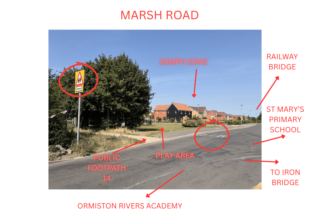
The rECOnnect Dengie project picked up the baton of the proposal to create a safe cycle route between Burnham-on-Crouch and Southminster. Our preferred route uses the alignment of the continuous walking route formed by the footpaths FP 26 242 and FP 17 259. We’ve managed to get this into the county strategy. The Essex LCWIP…
-
St Peter’s Ways

The Essex long-distance footpath St. Peter’s Way turns 50 years old soon (based on the 1978 publication of the first guide to the route). I want to celebrate and enhance the route as part of our wider work to improve walking, wheeling and cycling on the Dengie peninsula in the rECOnnect Dengie project of the…
-
New Paths – South Woodham Ferrers
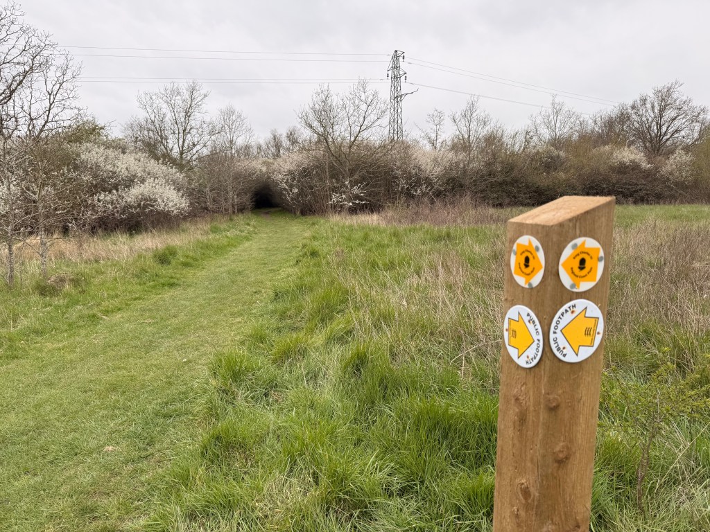
Last weekend I walked the two new local sections of the King Charles III England Coast Path (KC3ECP), this is my second account focusing on the new route between South Woodham Ferrers and Battlesbridge, part of the section WIB 3: Hawk Hill Bridge to Clementsgreen Creek [pdf] After reaching South Woodham Ferrers, as described in…
-
New Paths – North Fambridge
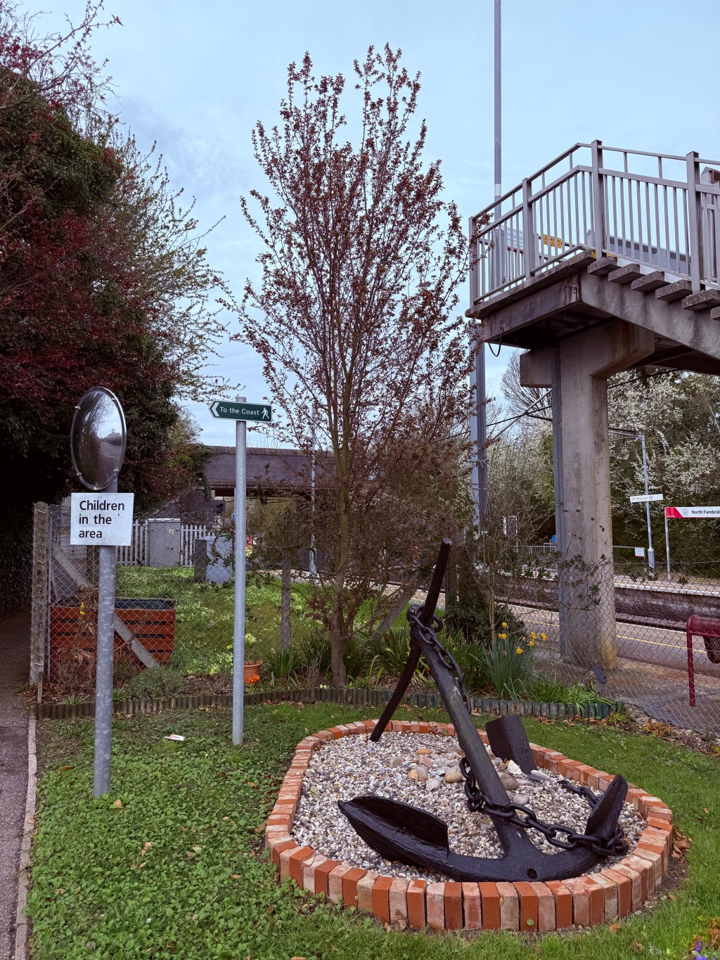
Last weekend I walked the two new local sections of the King Charles III England Coast Path (KC3ECP) that I mentioned in the previous post. As pre-warned, these were open but unfinished. In this post I review the WIB4 section: Clementsgreen Creek, South Woodham Ferrers to The Quay,North Fambridge [pdf] North Fambridge section This begins…
-
Way to Go

[This article develops a recent Facebook post with more maps and discussion of cycle route potentials] I received communication this week that ‘the King Charles III England Coast Path (KC3ECP), and its associated accessible coastal margin is now open around the full Dengie peninsula.’ There were some caveats in the communication, which I copy below…
-
The Essex-wide LCWIP
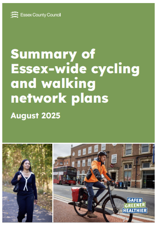
Like me, many of you may have responded to the Essex County Council consultation on the ‘Essex Wide Walking and Cycling Infrastructure Plan’. The results of that consultation were quietly released last August (2025), so you may not have seen them. I’m still working through the documents and I welcome comment and feedback from anyone…
-
Better Walk/Wheel/Cycle Routes
Next week, work commences on a solar farm south of Keelings Road, Dengie. This will involve constructing an access road from Keelings Road to Asheldham Brook, which could be made suitable for cycle access. From Asheldham Brook it’s only 2km to The Marshes, Southminster through land (Northwycke Farm) with a single owner: Lincoln College, Oxford.
-
Weeknotes 02025 Q1 Week 3
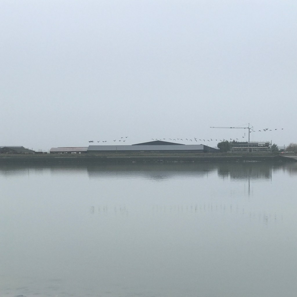
DCAP Various admin tasks – registration as trustee, bank account stuff. The Trustees are considering our Membership model and how best to manage it I’ve received hints of a local actor taking an interest in the organisation and seeking information about us without just coming and asking us. For me, this reinforces the need to…
-
Bursou Two
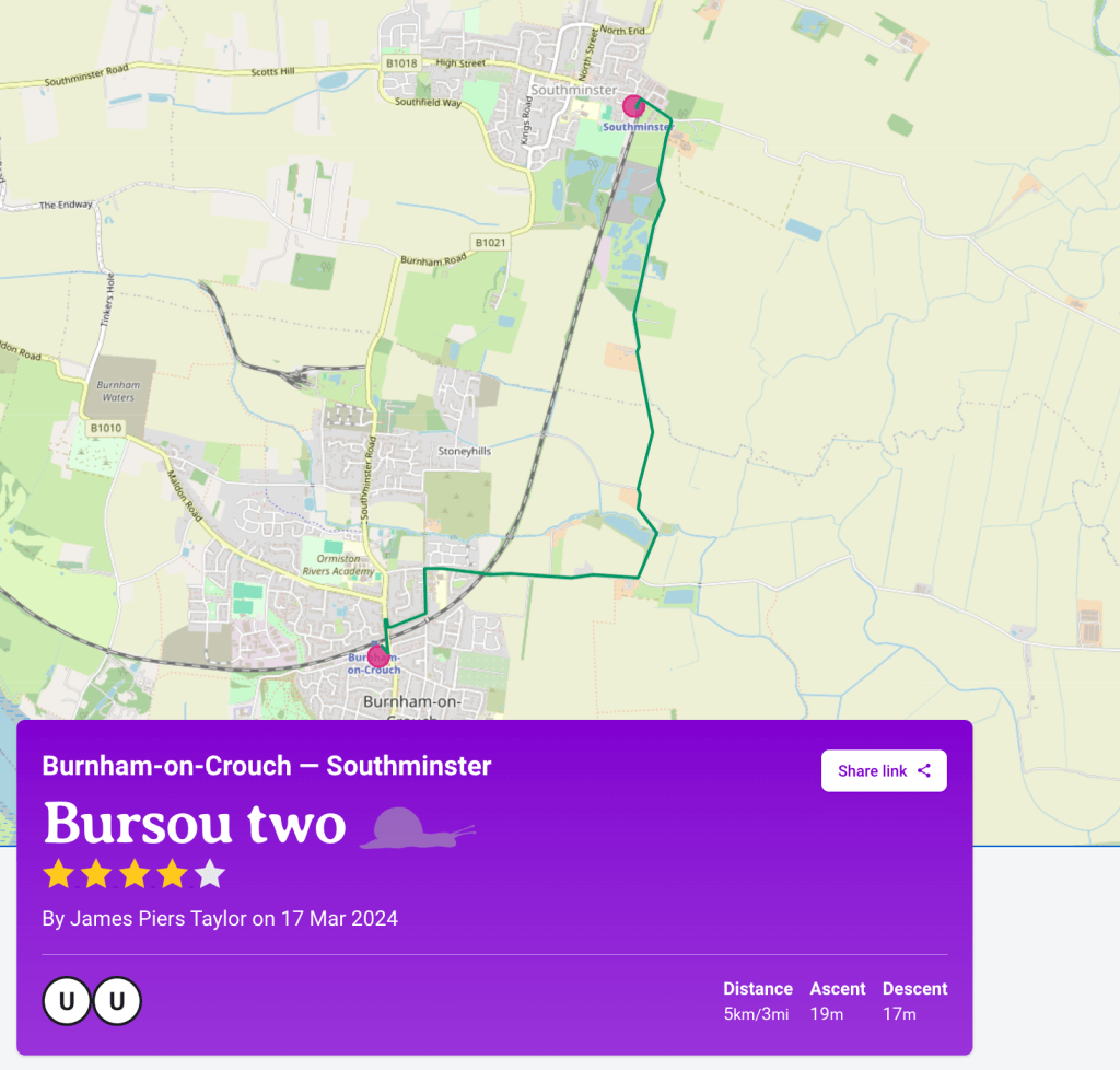
In the previous post, I mentioned that the Slow Ways route Bursou One is one of three footpath-orientated ways between Burnham and Southminster. I committed to adding my preferred walking route between the two as an additional Slow Way. It’s now been added as Bursou Two. Below, I have appended my route description from the…

