Bursou Two

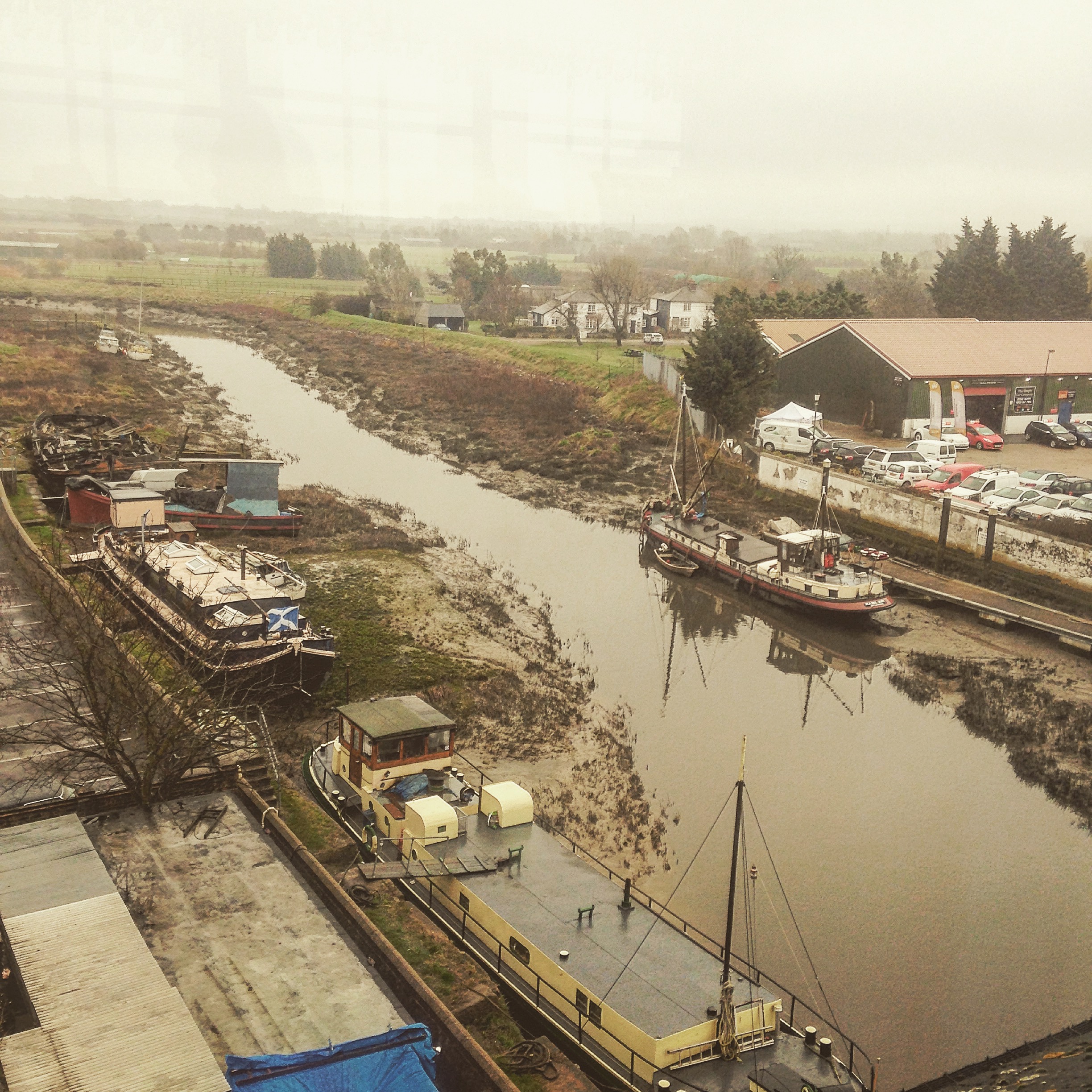
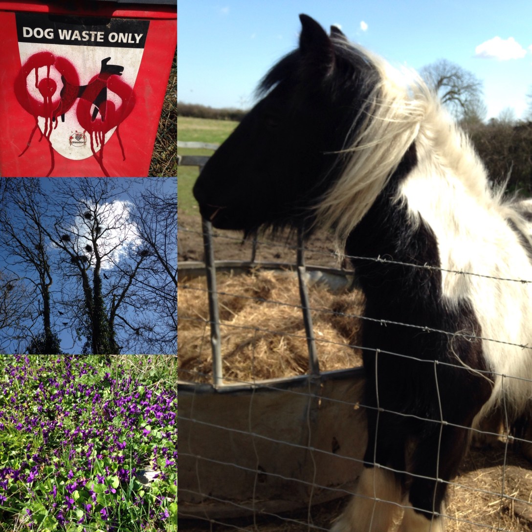
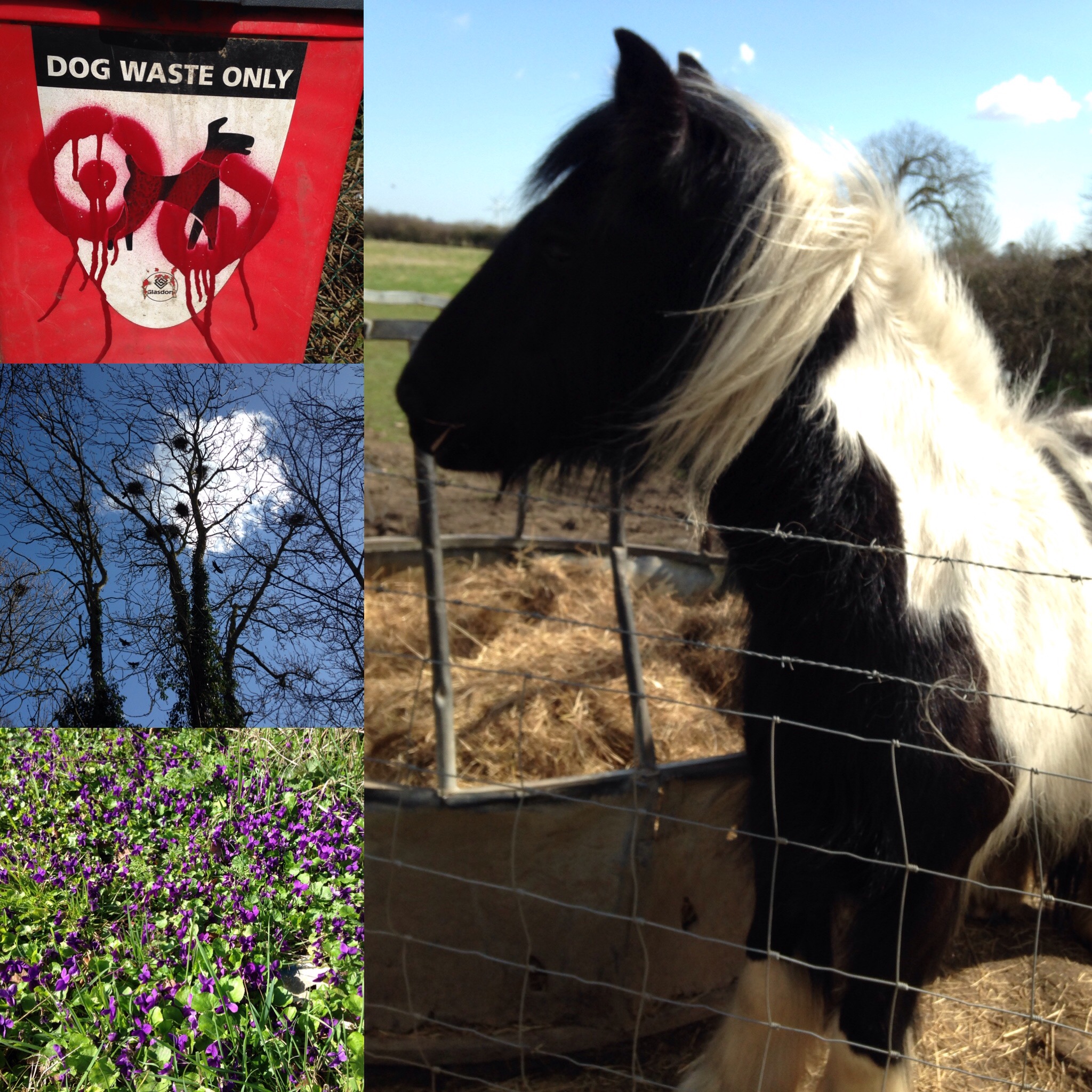
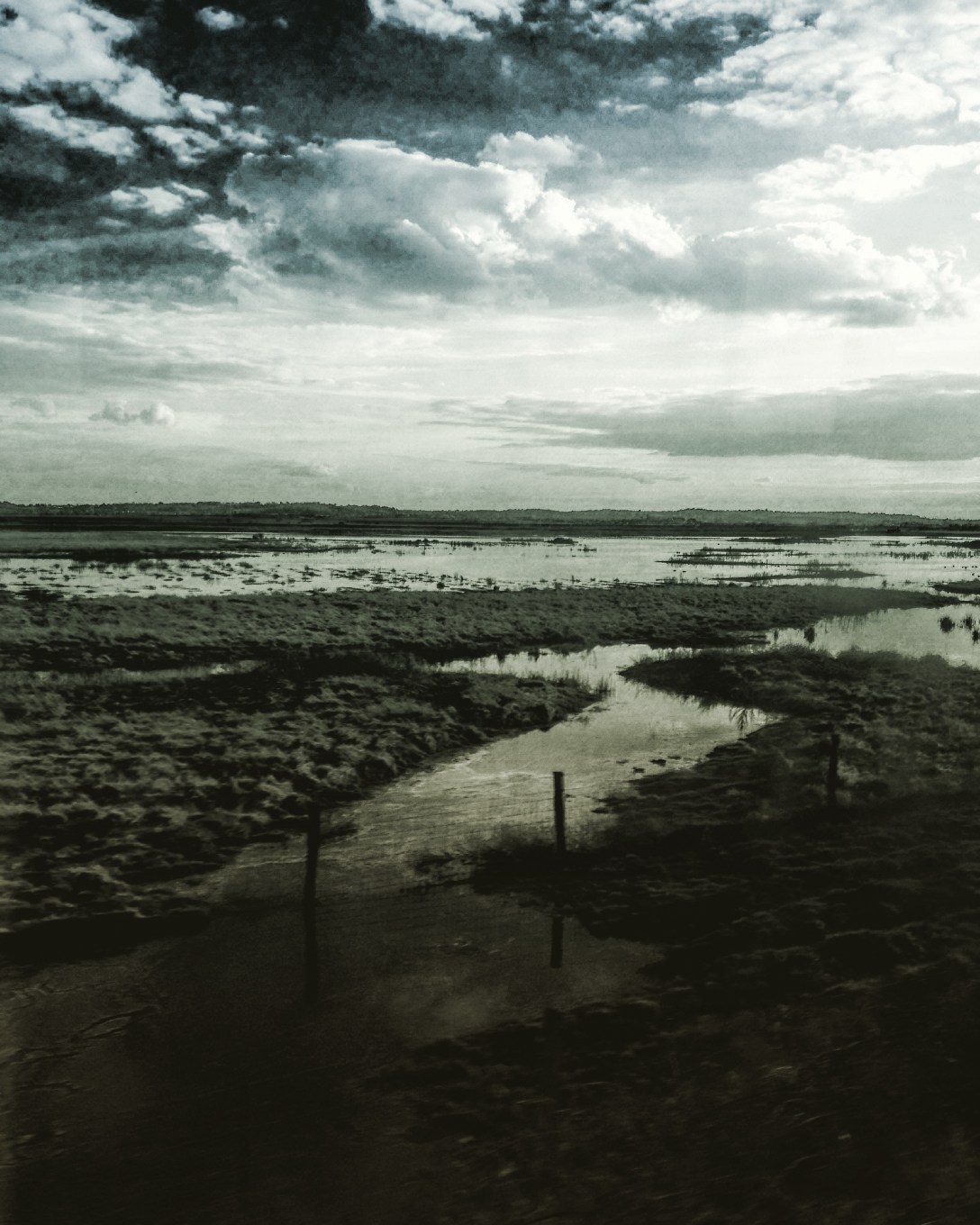
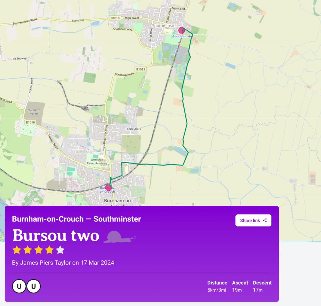
In the previous post, I mentioned that the Slow Ways route Bursou One is one of three footpath-orientated ways between Burnham and Southminster. I committed to adding my preferred walking route between the two as an additional Slow Way. It’s now been added as Bursou Two. Below, I have appended my route description from the site, plus a review of walking it on Sunday 17th March.

Continue reading “Bursou Two”

Beneath the Seawall, the Beach of Dreams

Photograph of the walkers paused by the entombed Bradwell Nuclear Power Station to hear Angenita Teekens speak.
The walk pauses by the entombed Bradwell Nuclear Power Station to hear Angenita Teekens on her mile

Last Sunday I participated in a stage of Beach of Dreams, walking between Bradwell Waterside and Burnham-on-Crouch. Beach of Dreams is an art project initiated by Ali Pretty of Kinetika, it’s a collaborative 500-mile walk between Lowestoft and Tilbury

Continue reading “Beneath the Seawall, the Beach of Dreams”

Beating the Bounds 4: Maldon to SWF via Purleigh

IMG_1645
The well-worn pilgrim’s path of St Peter’s Way

Whoever escaped/ Kept a weather-eye open and moved away.
Seamus Heaney (trans.) Beowulf

A volte-face of an old favourite: the walk from South Woodham Ferrers to Maldon via Purleigh. The trick with this walk, in either direction, is to leave early enough to reach The Bell in Purleigh before they stop serving food. I got the 8.25 bus (31x) from Burnham clocktower to Maldon, which gave we enough time to check the charity shops (one purchase: Seamus Heaney’s translation of Beowulf – 99p) and visit Maldon Library before departing proper. Continue reading “Beating the Bounds 4: Maldon to SWF via Purleigh”

Beating the Bounds 3: Coastal Path at Battlesbridge

IMG_1413 2

From the cafe on the upper storey of the Antiques Centre in the old mill at Battlesbridge a view of the River Crouch. Battlesbridge is the head of the River Crouch navigation, the upper reach of the tidal zone and site of the most easterly bridge over the river. Geographically Battlesbridge sits at the south west corner of the Dengie peninsula.

On the north bank a rough track along the riverside (not a registered PROW) shortly connects with a riverside footpath (PROW 229_41) where a creek inlet meets Maltings Road by the Riverside Industrial Park. This rough track should form part of the Coastal Path. Continue reading “Beating the Bounds 3: Coastal Path at Battlesbridge”

Beating the Bounds 2: BoC to Southminster

IMG_1360

A circular walk between Burnham-on-Crouch and Southminster. Leaving Burnham by Wick Road travelling east, turning north on to the footpath across Burnham Wick Farm fields (PROW 242_15) and travelling on path until it meets Marsh Road by Dammer Wick farm. Passed two dog walkers using the track. Rye planted in fields. Continue reading “Beating the Bounds 2: BoC to Southminster”

Beating the Bounds 1: North Fambridge to BoC

An afternoon bracer: off the train at North Fambridge at 15.10 then south down at Fambridge Road. At the turn to The Avenue I instead took the footpath (PROW 256_10) along Blue House Farm Chase towards Blue House Farm. Instead of proceeding directly to the sea wall by the continuing public footpath (PROW 256_13) I took the permissive path east across Blue House Farm land. This initially dragged me north easterly along a raised bund, higher than the wet fields and fleets.

Screen Shot 2018-03-30 at 11.27.58 Continue reading “Beating the Bounds 1: North Fambridge to BoC”