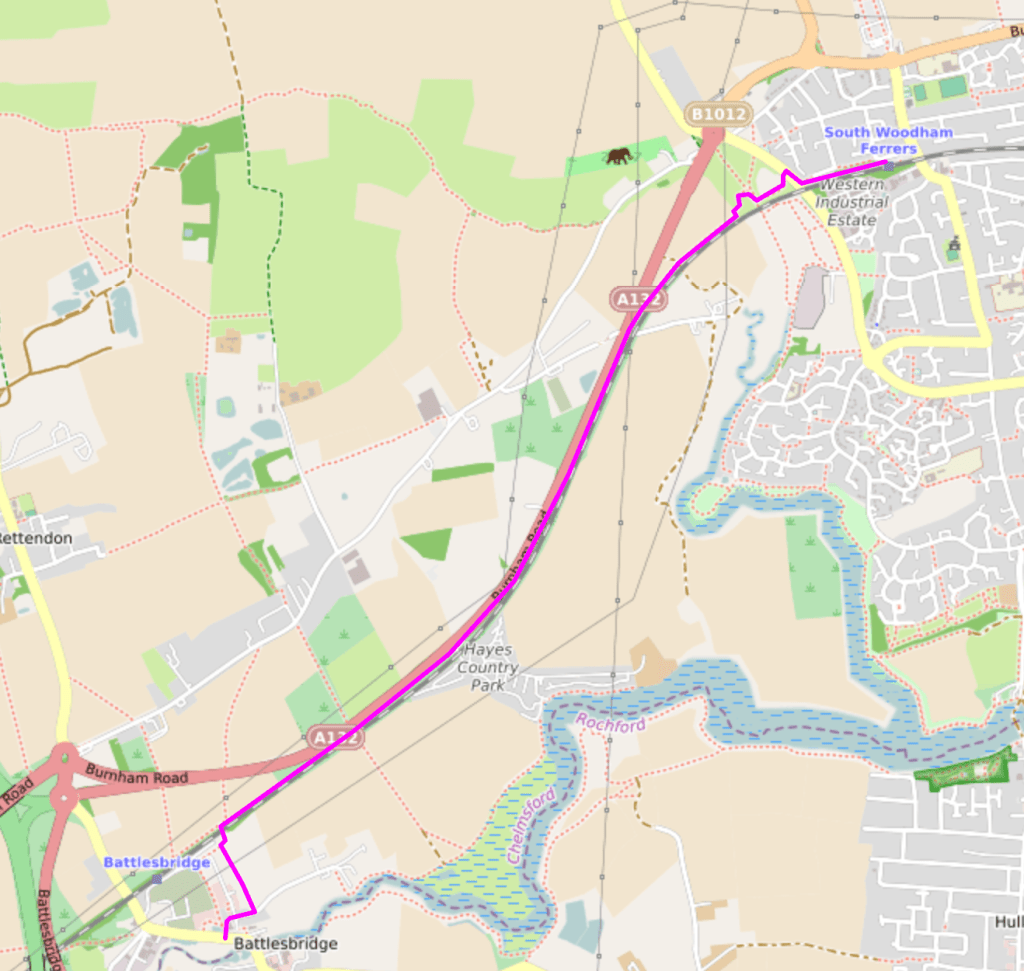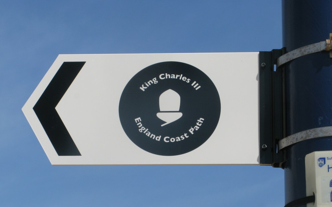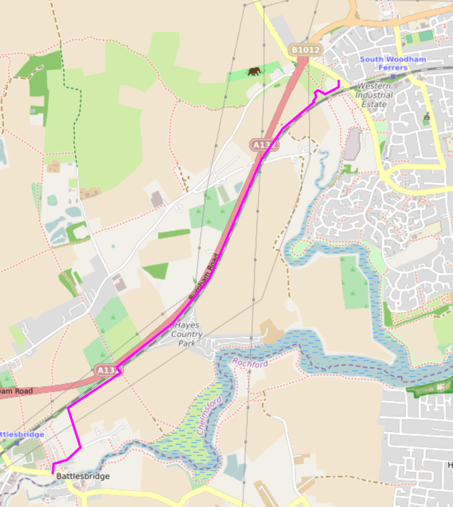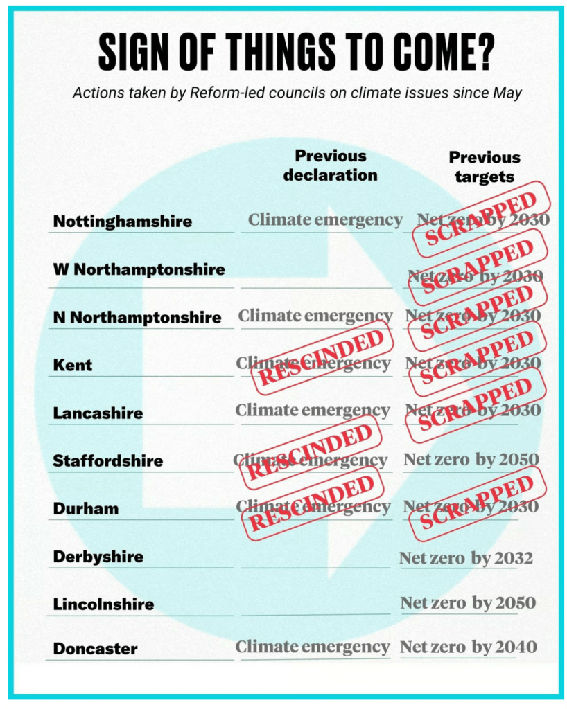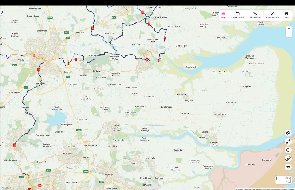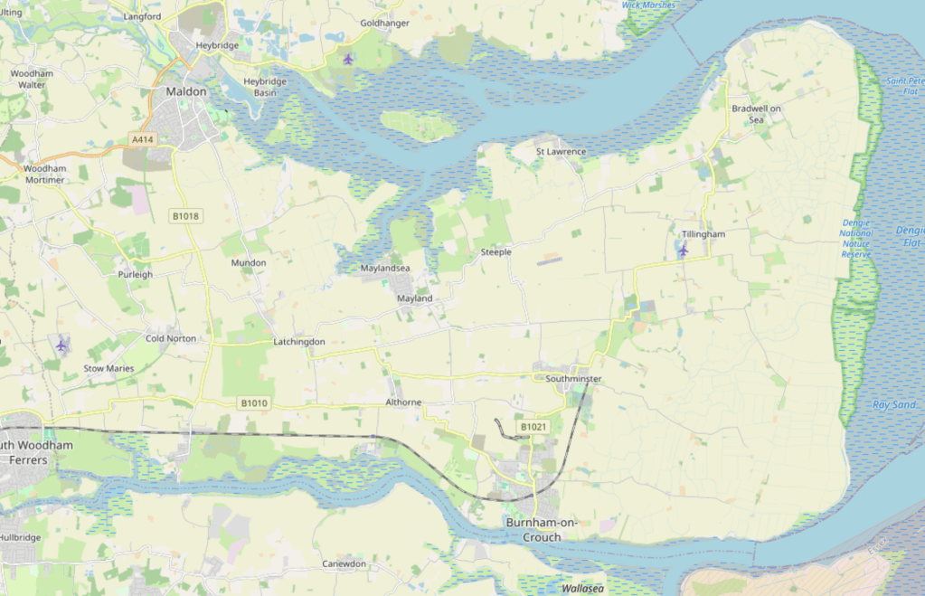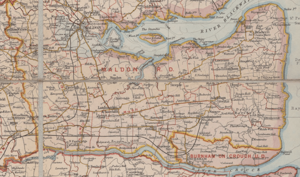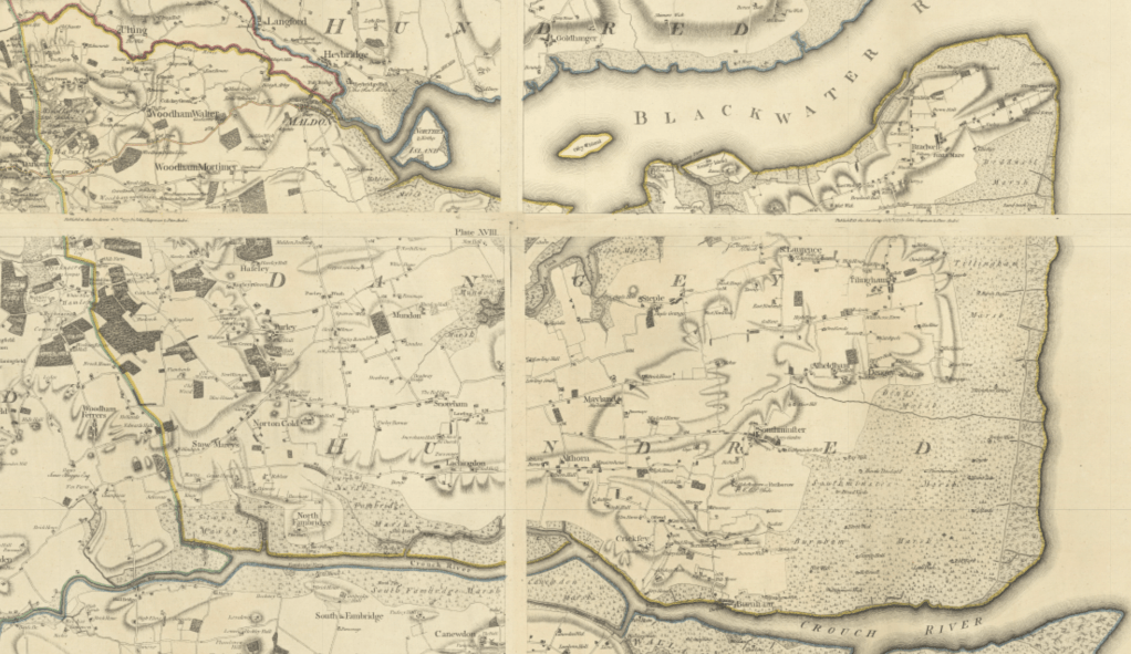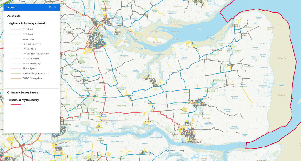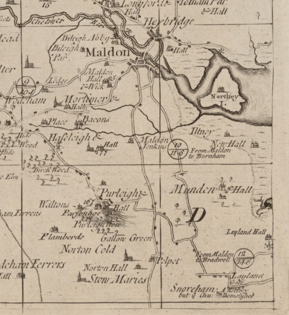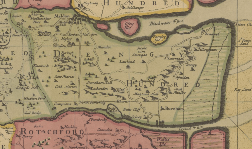
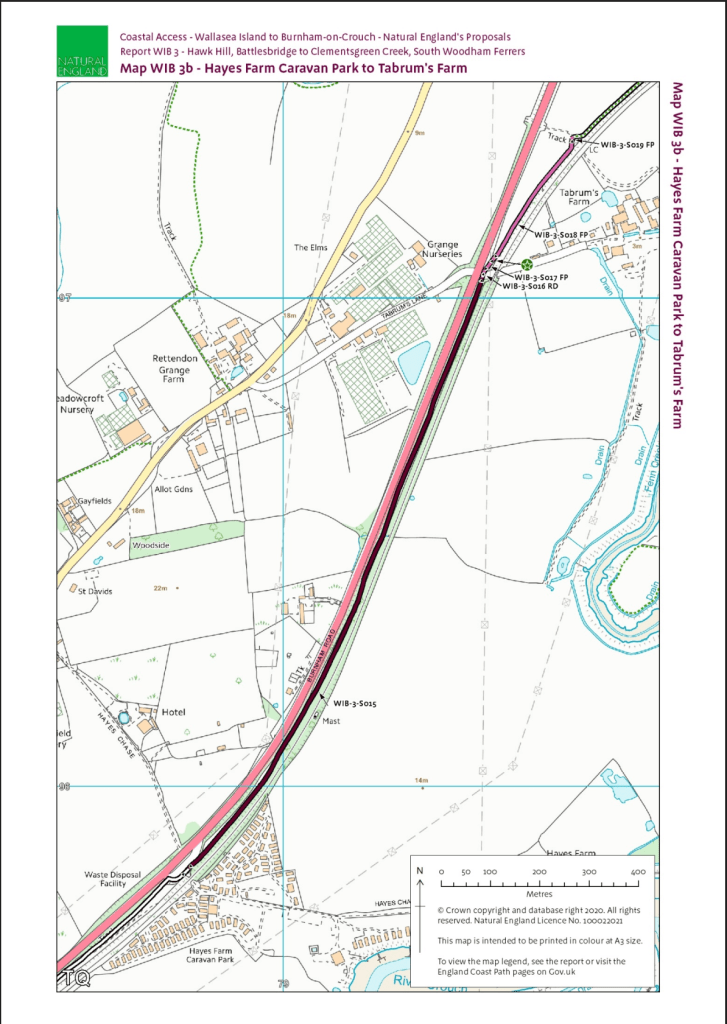
Last weekend I walked the two new local sections of the King Charles III England Coast Path (KC3ECP), this is my second account focusing on the new route between South Woodham Ferrers and Battlesbridge, part of the section WIB 3: Hawk Hill Bridge to Clementsgreen Creek [pdf]
After reaching South Woodham Ferrers, as described in the previous post, I left the sea wall at the western terminus of Clementsgreen Creek on to Creekview Road and walked across town to the railway station on pavemented streets.
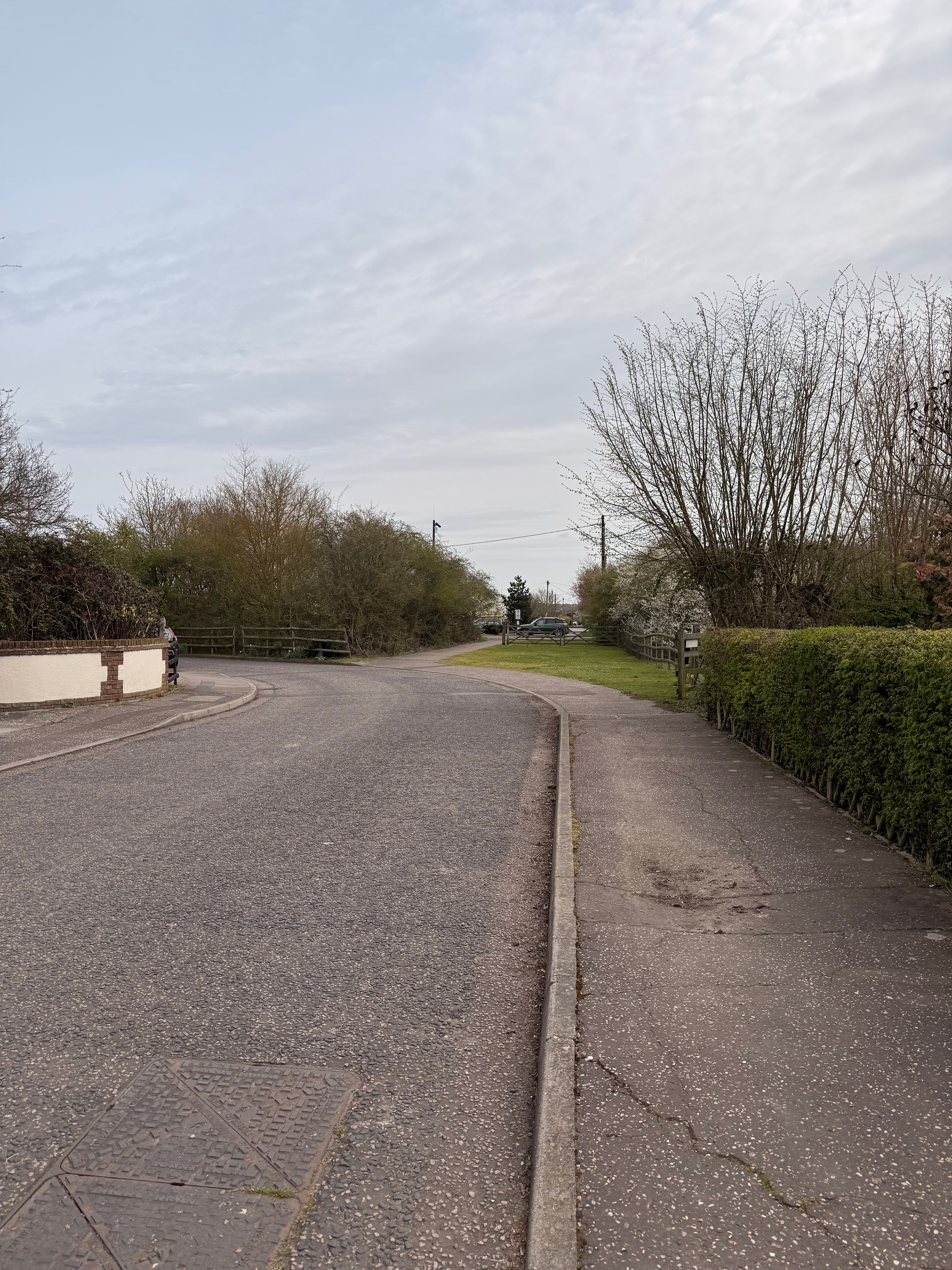
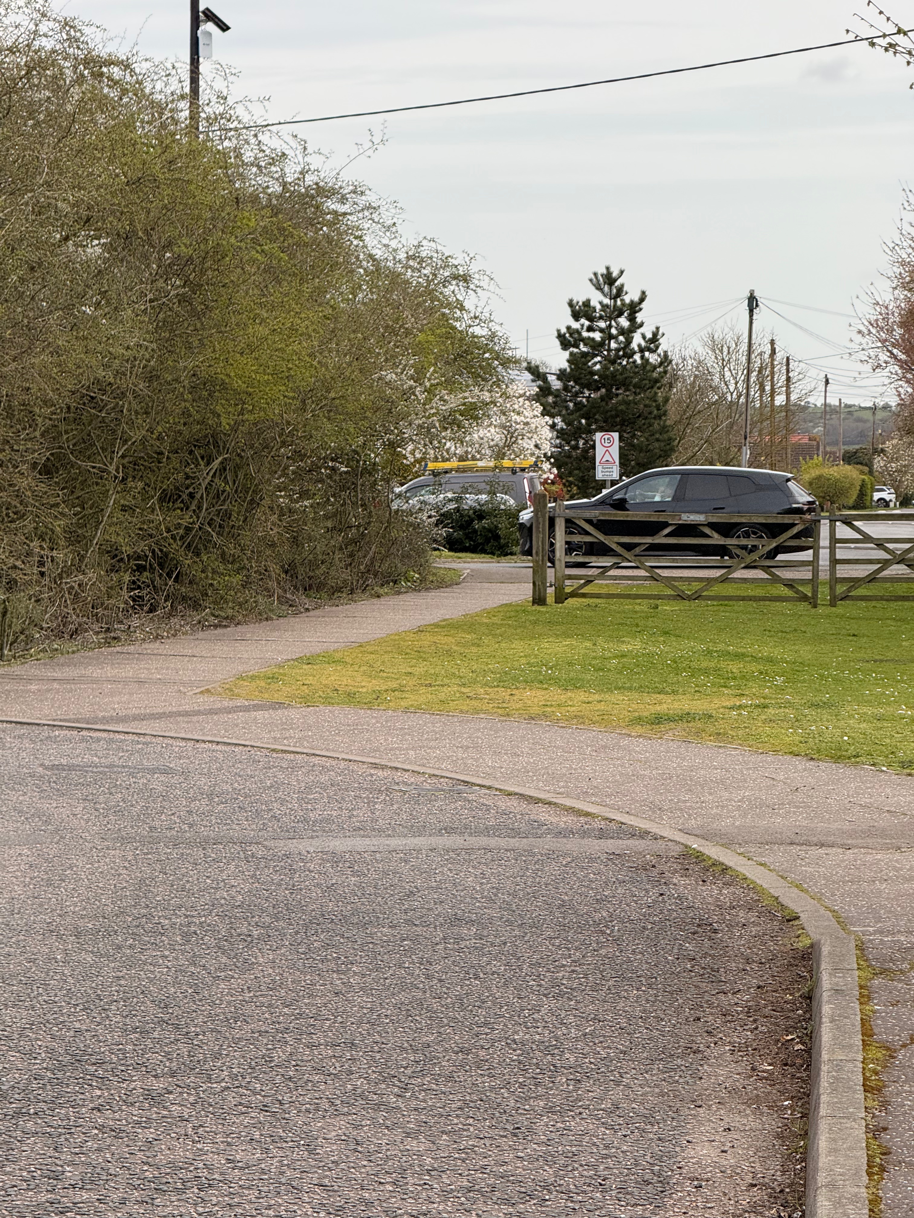
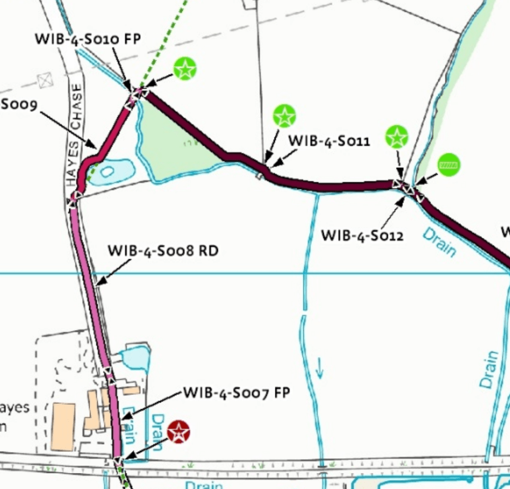
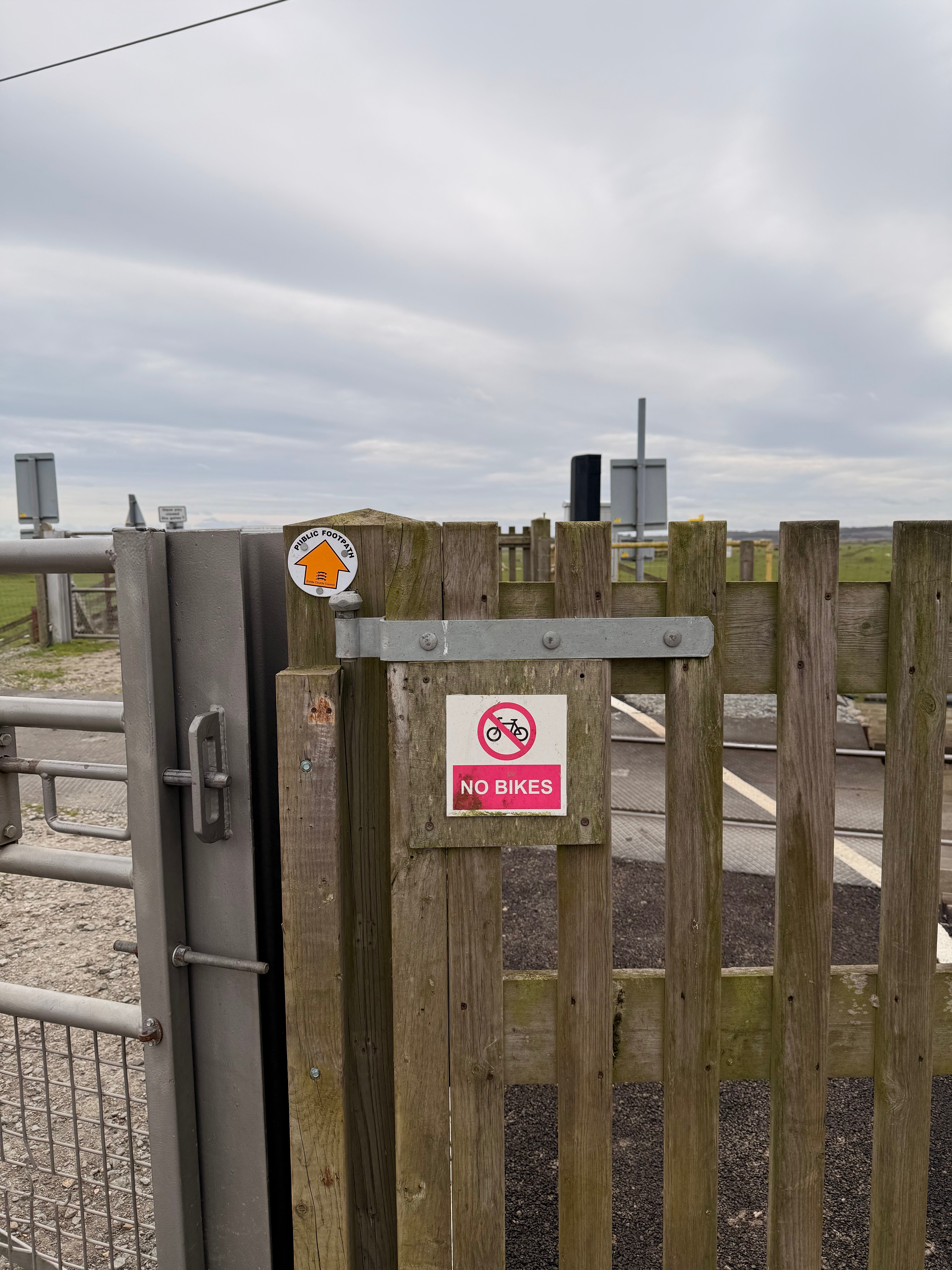
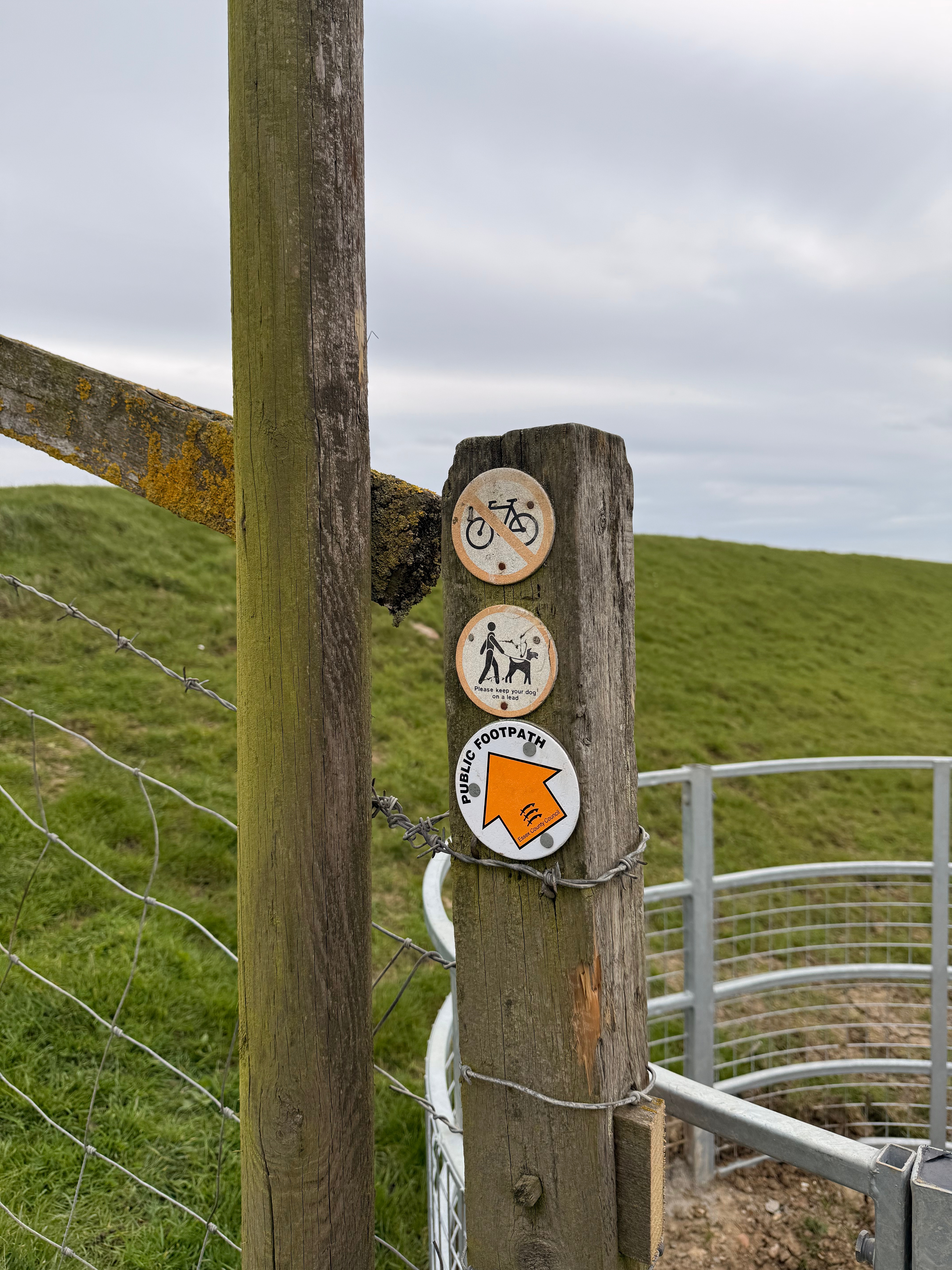
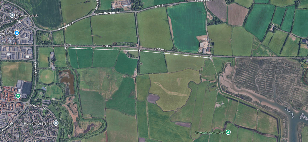
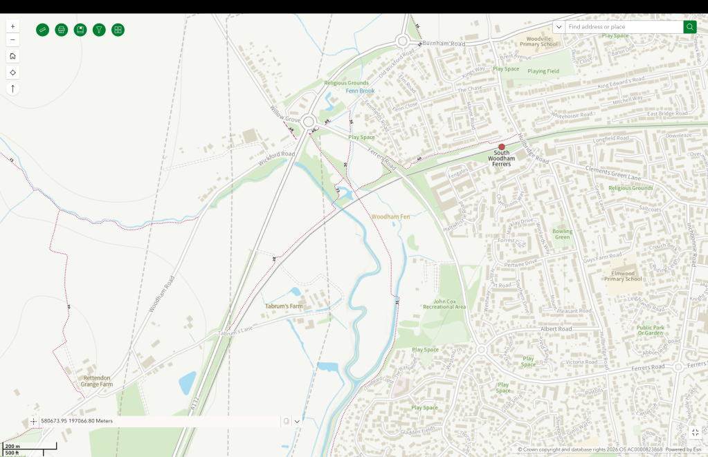
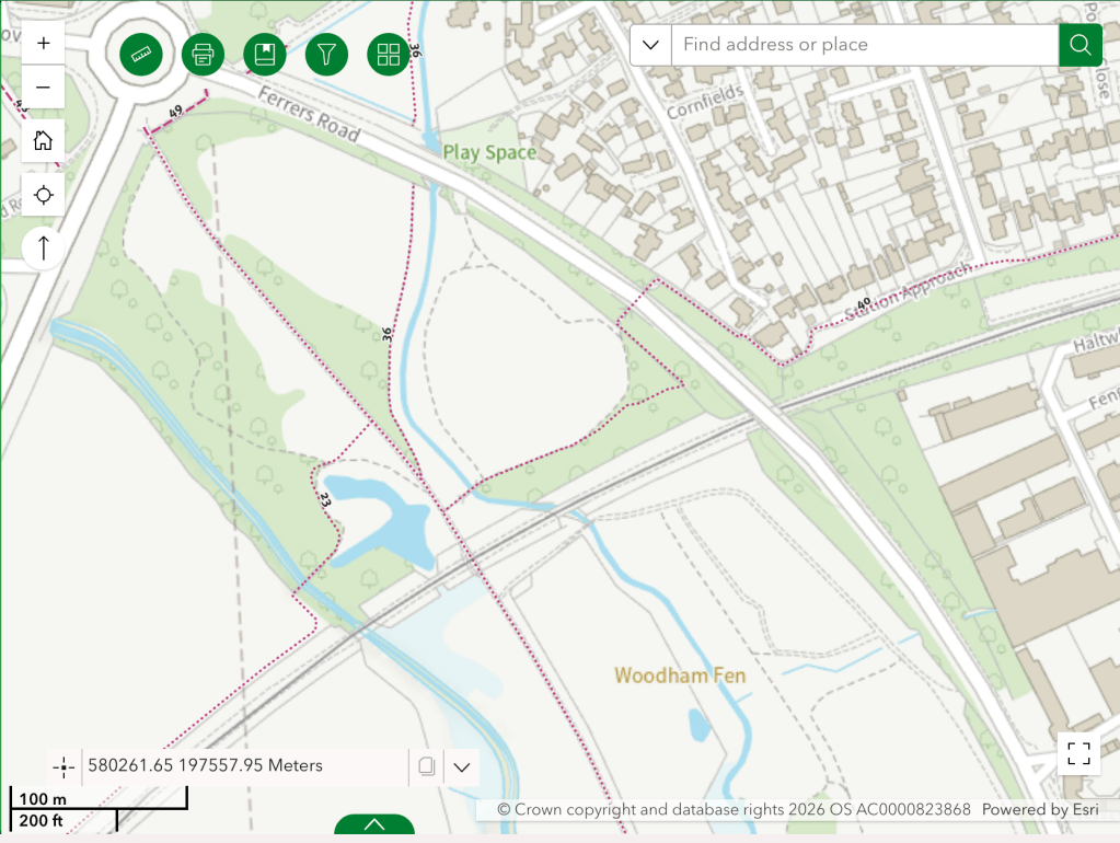
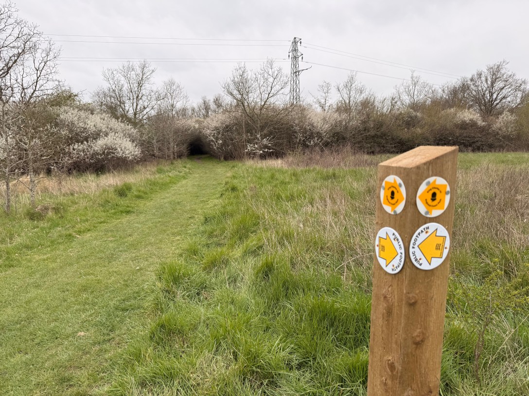
I left the railway station through the station car park on to footpath FP 40 298 which travels west, through an underpass below Ferrers Road, into and part-way across Woodham Fenn nature reserve.
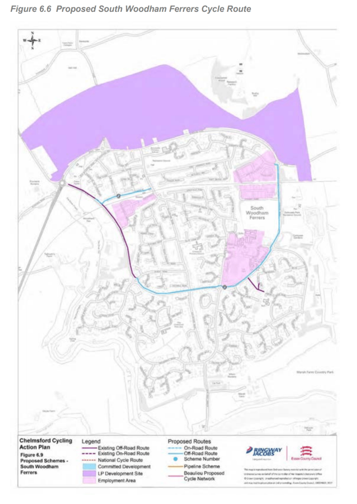
The section between the station and the underpass was proposed to be ungraded to a shared use path available to cyclists in the Chelmsford Cycling Action Plan (March 2017) [pdf]. It notes
‘there is also the possibility to connect to the station from the west by upgrading an existing footpath (Figure 6.6). However it appears the footpath uses an underpass to cross Ferrers Road and so to connect to the existing cycle route the levels difference would need to be addressed.’
(do the people who write these documents actually do site visits?)
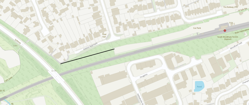
(FP 40 298 has sections that are fairly narrow for a shared used path, but this could be easily addressed by using more of the railway station carpark and establishing a section of new route through land owned by the railways, as show in a map above)
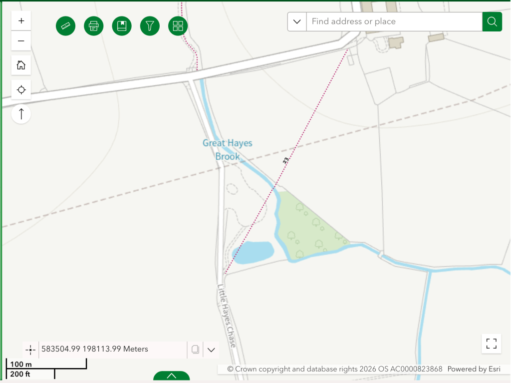
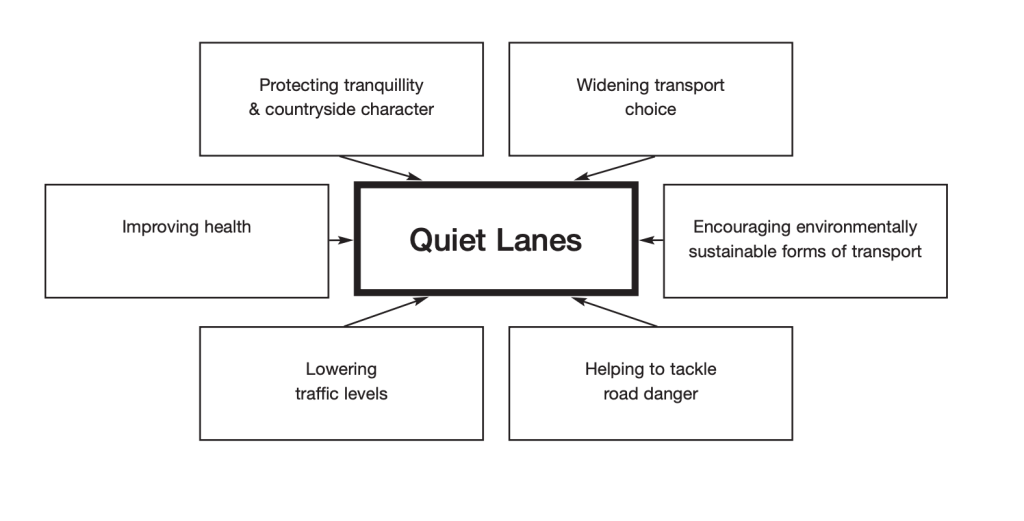
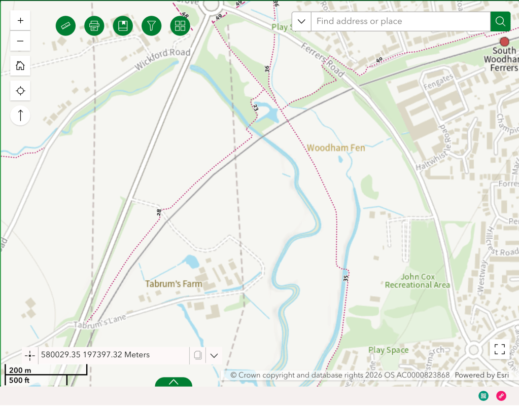
It would be useful to connect this path into the Ferrers Road cycle route, but it would also be valuable to upgrade the full length of this footpath for cycle use, alongside sections of FP 35 298, FP 23 298 and FP 28 229 to provide a walk/wheel/cycle route from South Woodham Ferrers all the way to where Tabrum’s Lane is split by the A132 (this is the route I walked). The westerly section of Tabrum’s Lane, opposite where the route ends is a country lane ideal for being designated with Quiet Lane status. Immediately to the south the new Right of Way established parallel to the A132 commences for the KC3ECP.
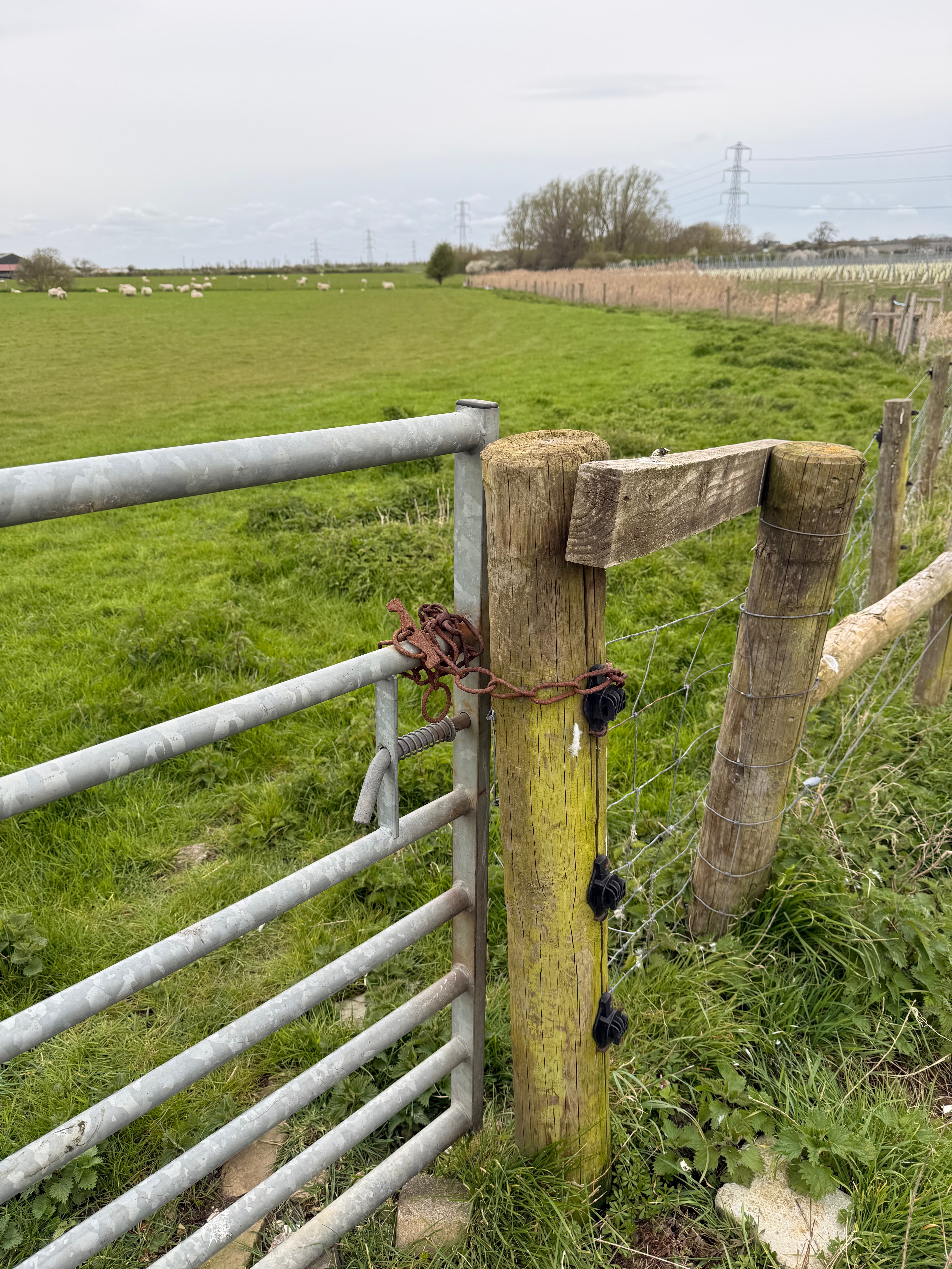
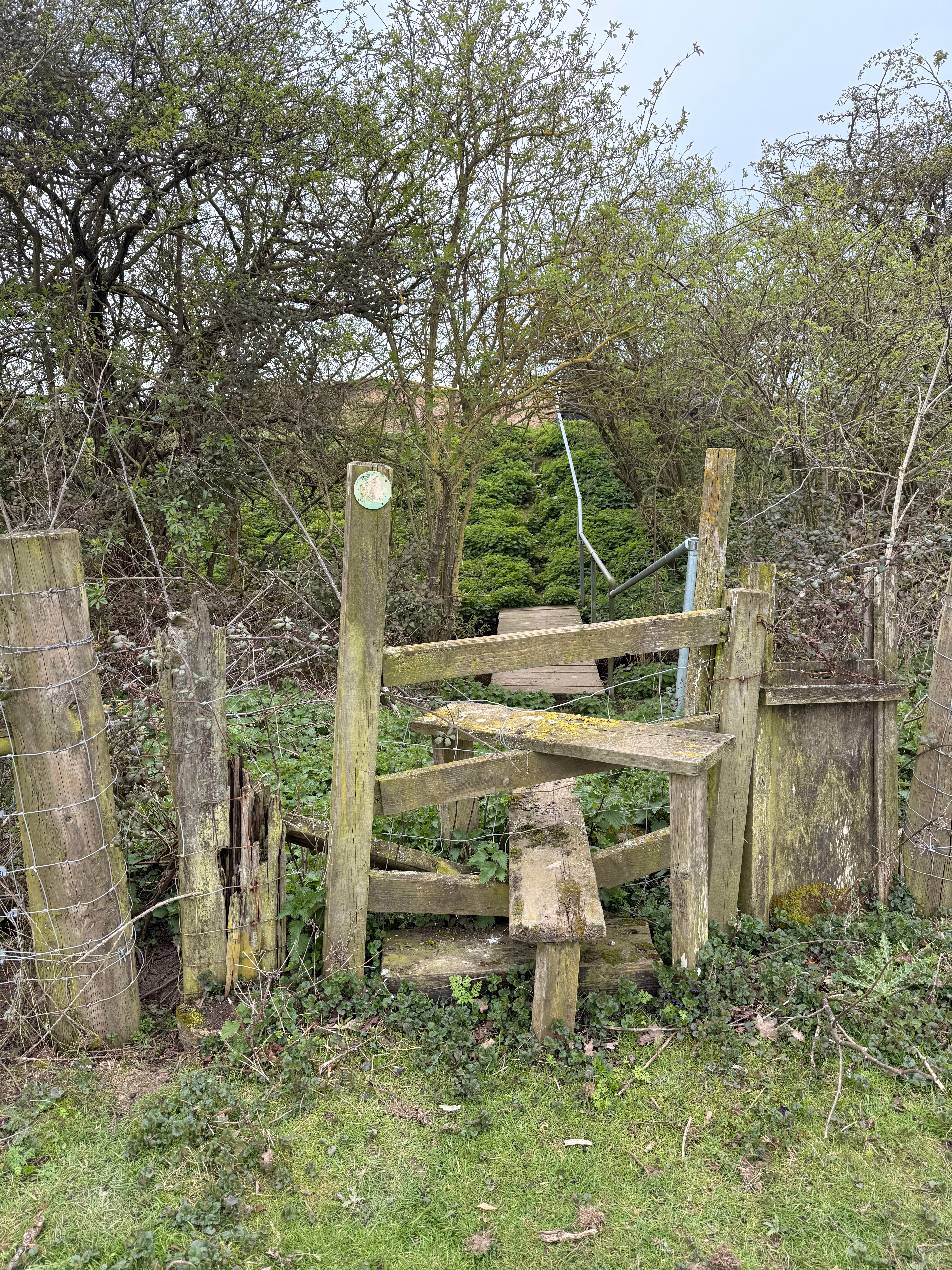
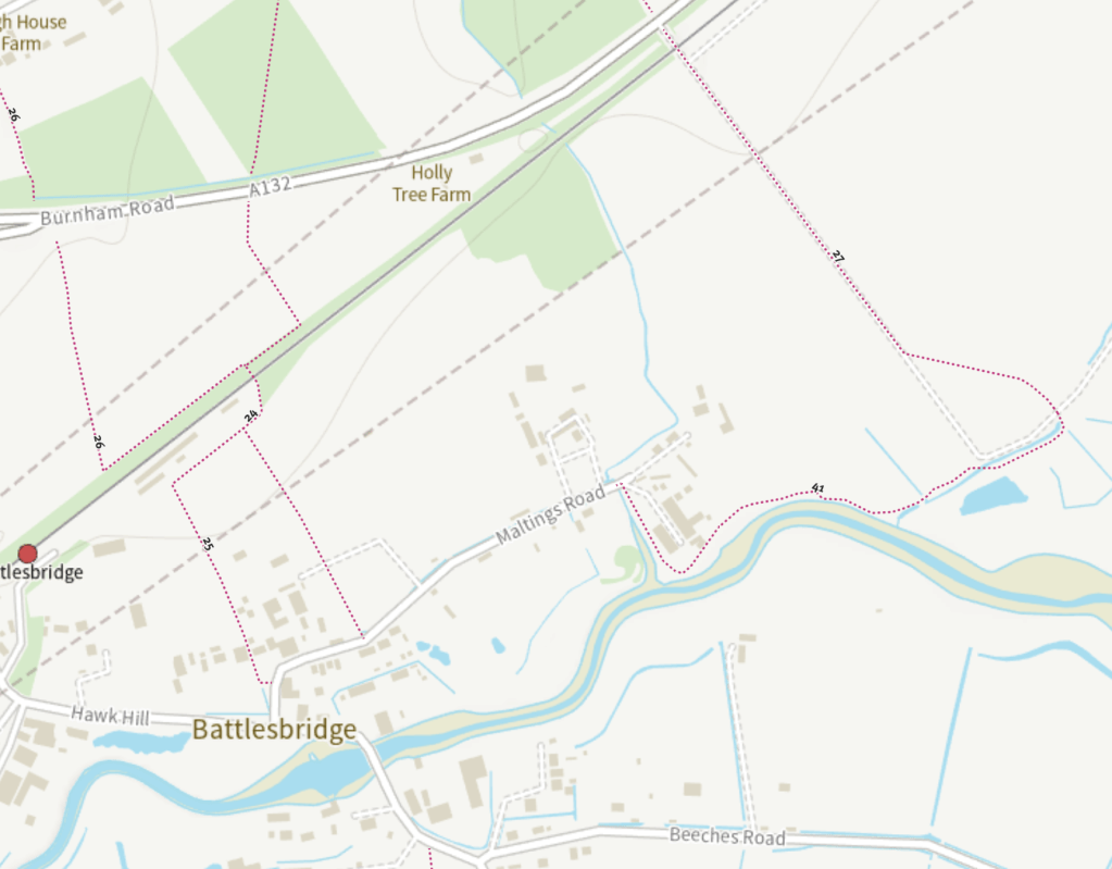
As with the new section discussed in the previous post, it is disheartening to discover the lack of consideration for accessibility paid in the new stretch of Right of Way beginning at this point (WIB-3-S015). Across Tarbrum’s Lane, users are immediately confronted with steps.
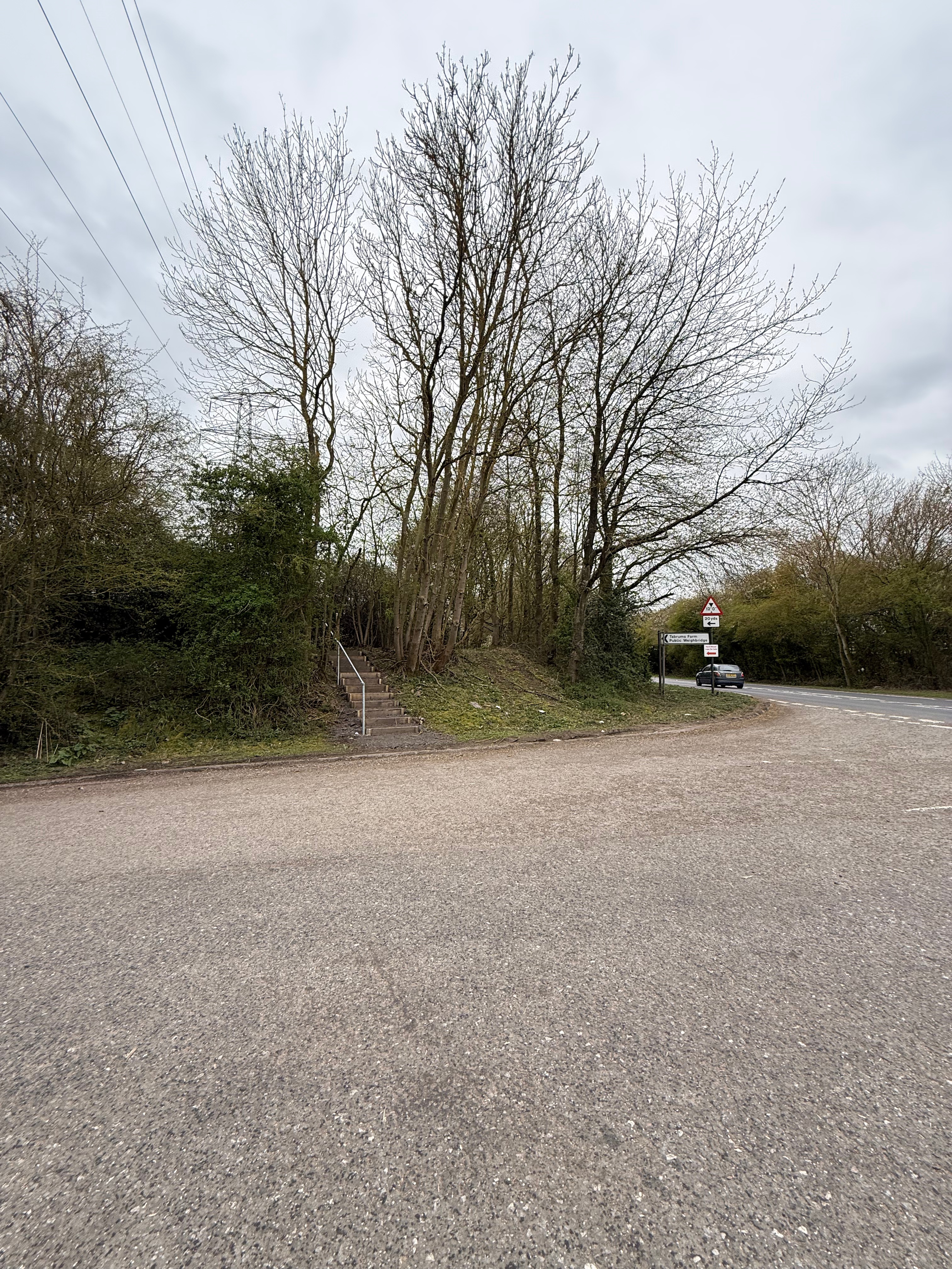
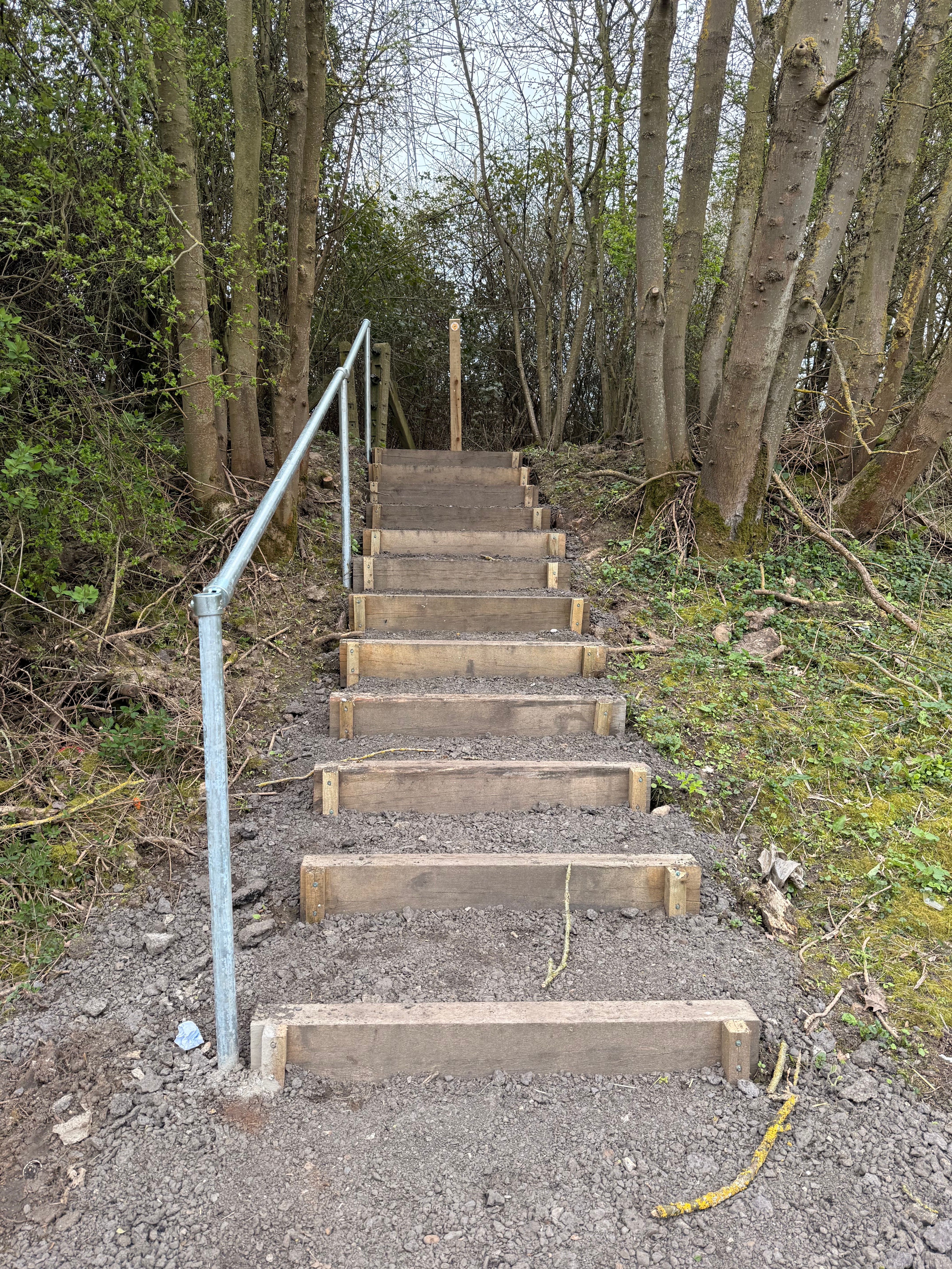
There is a level change here, and the new path takes an elevated route, so some mechanism is necessary – but why not a slope accessible to a wider range of users? There is enough room here.
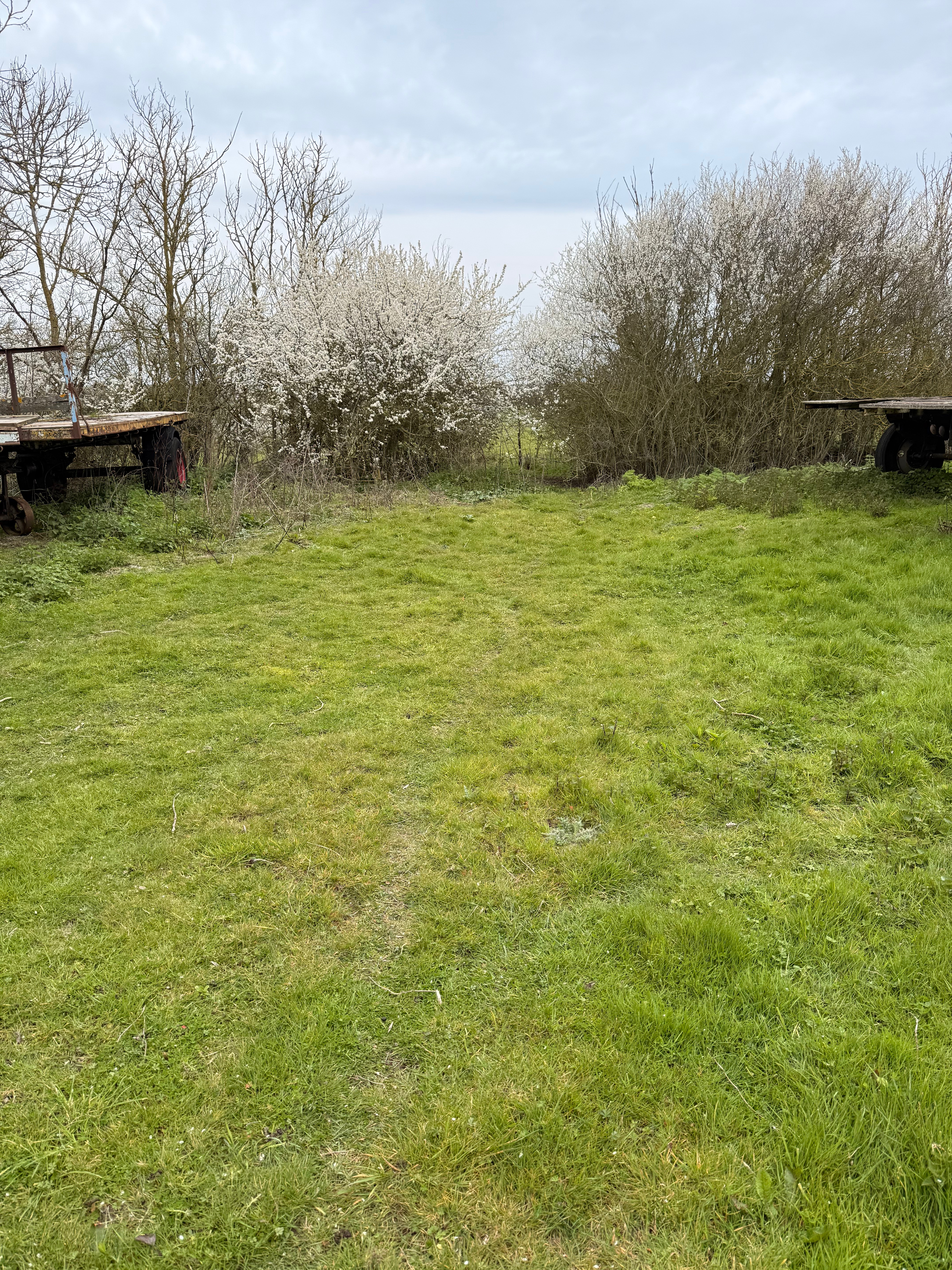
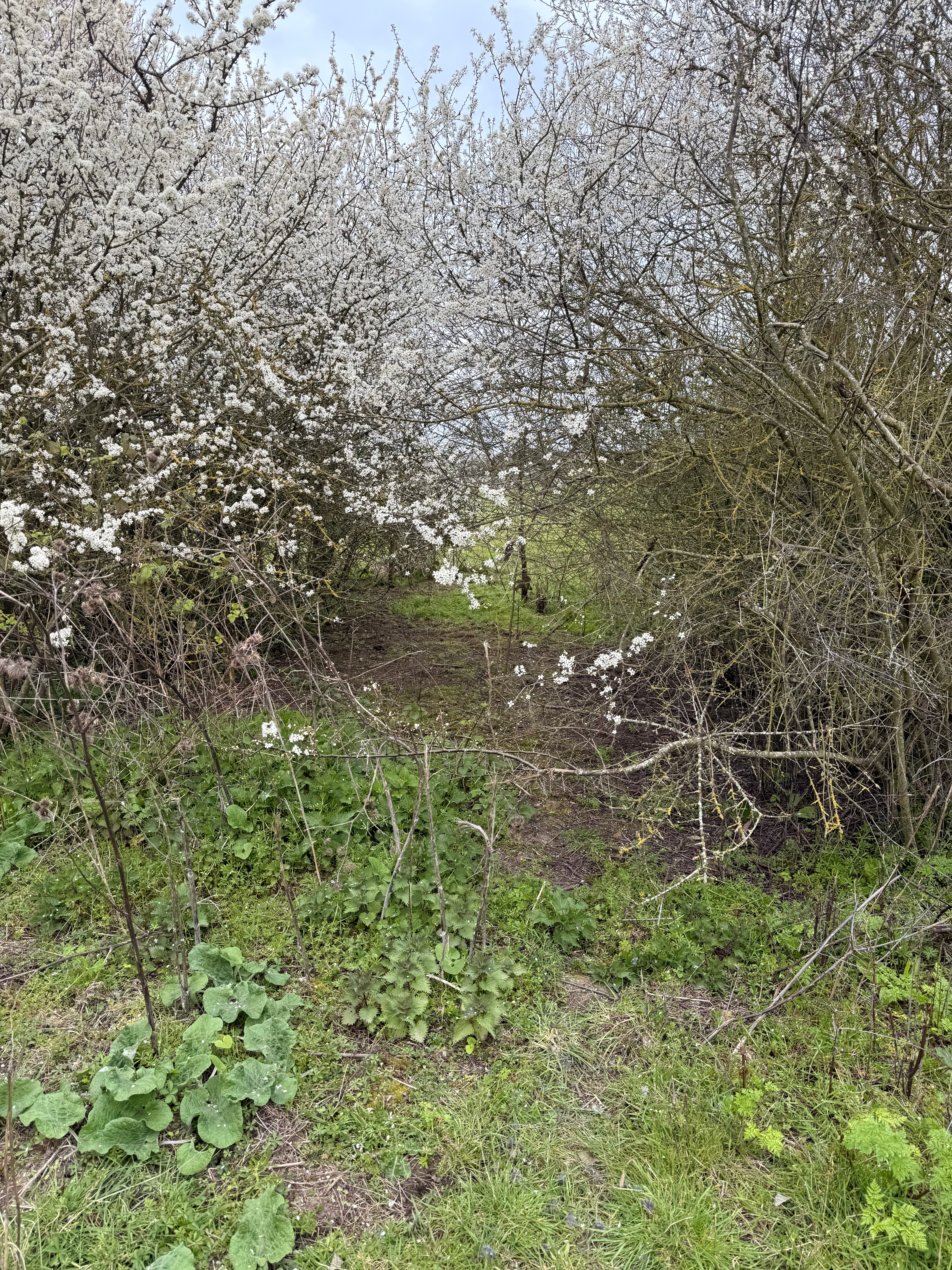
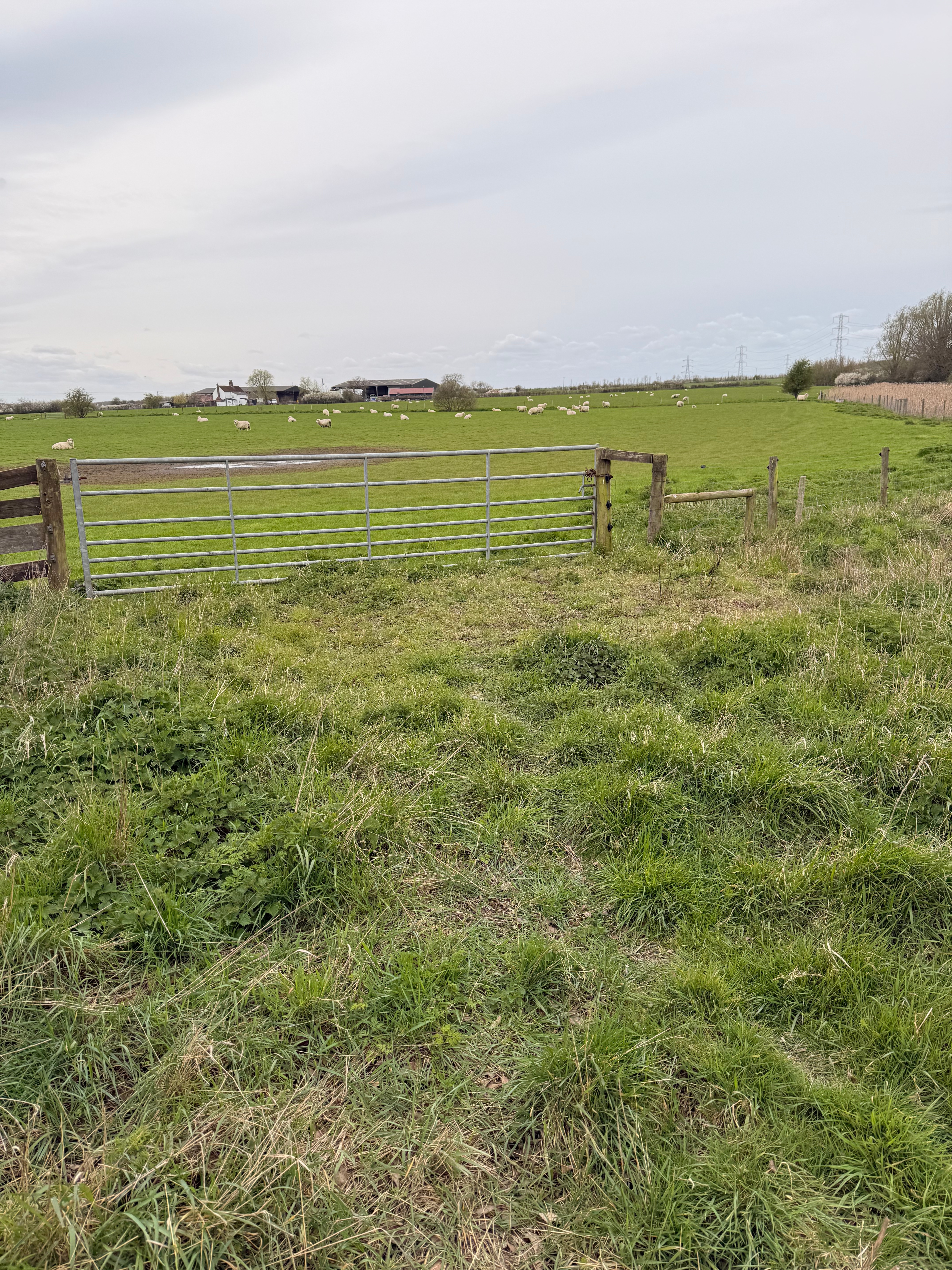
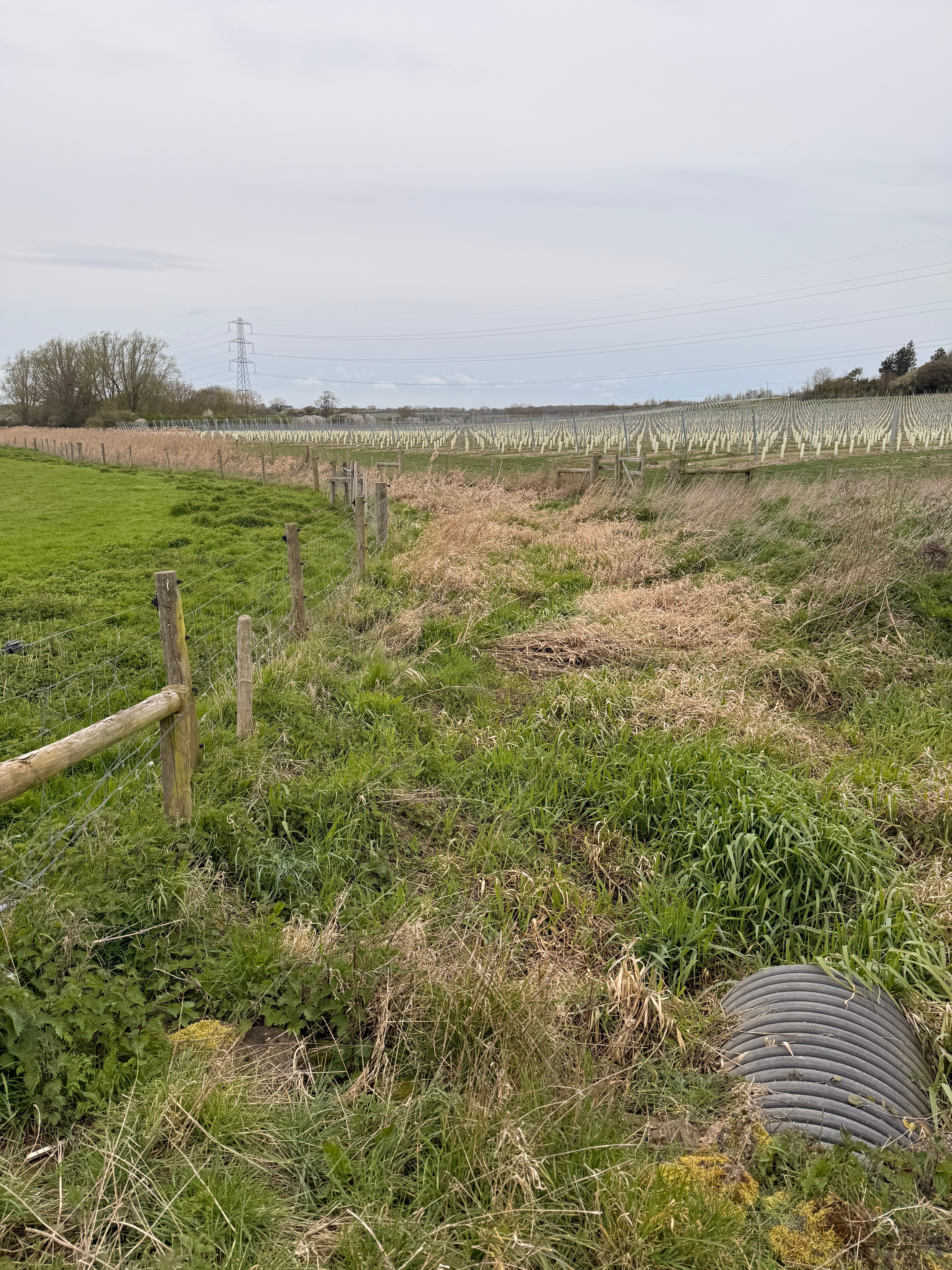
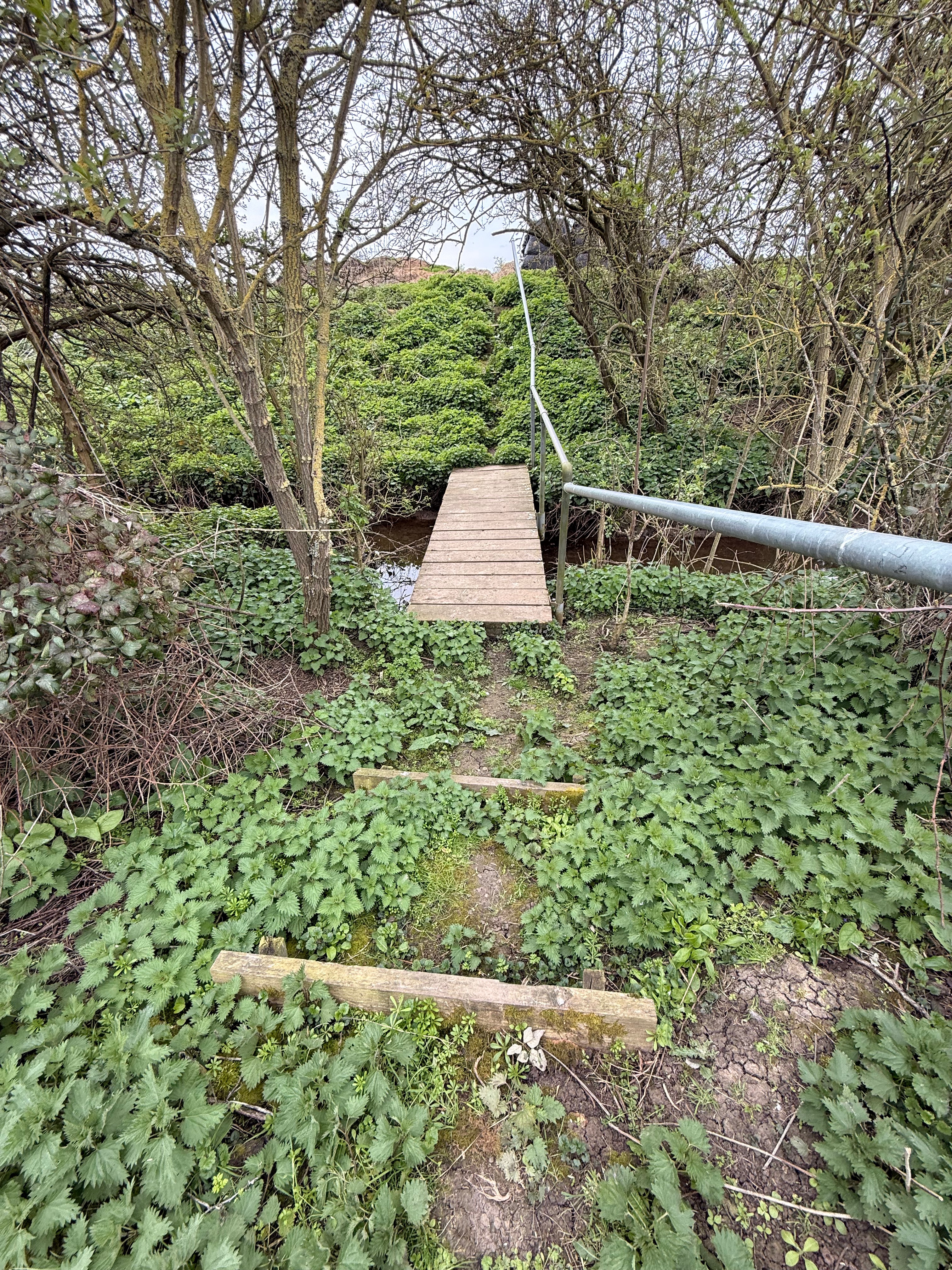
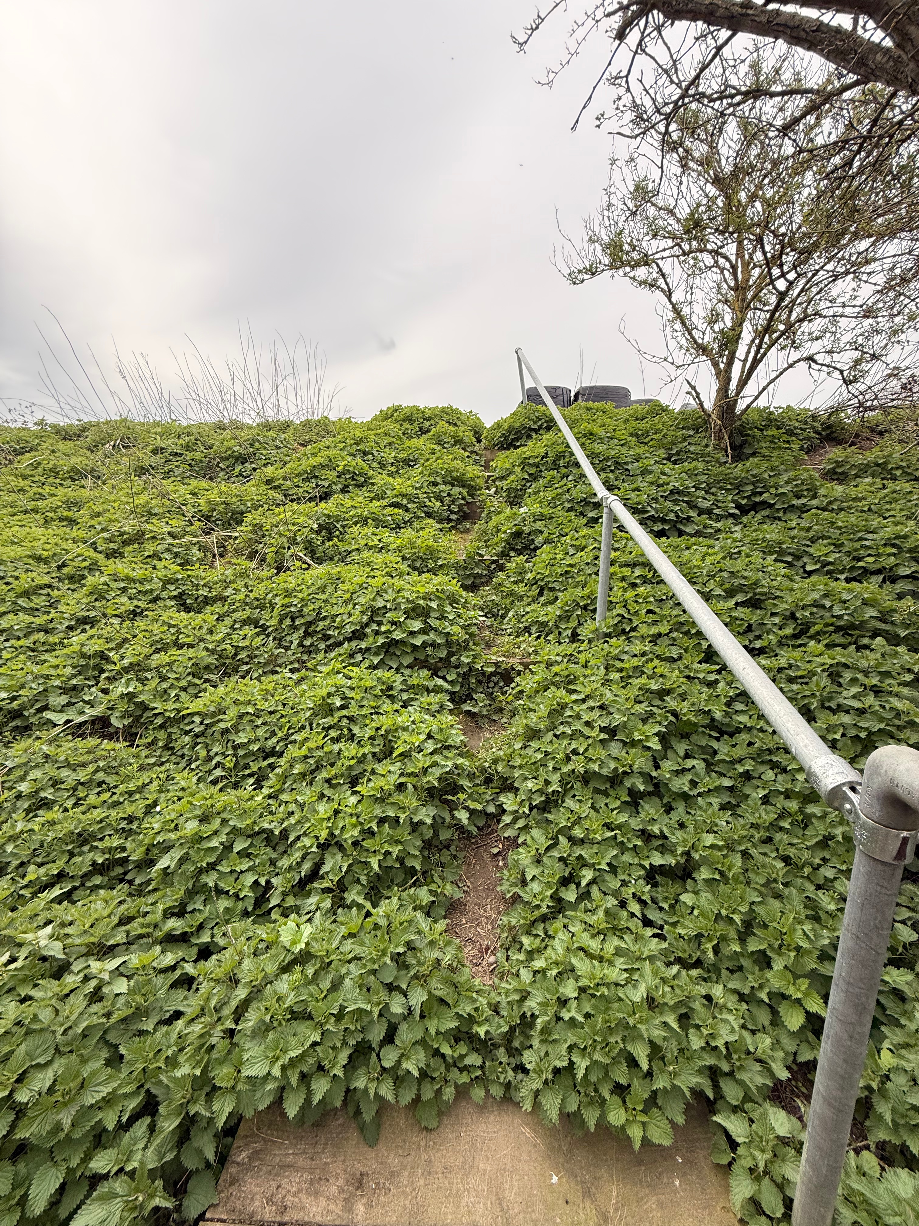
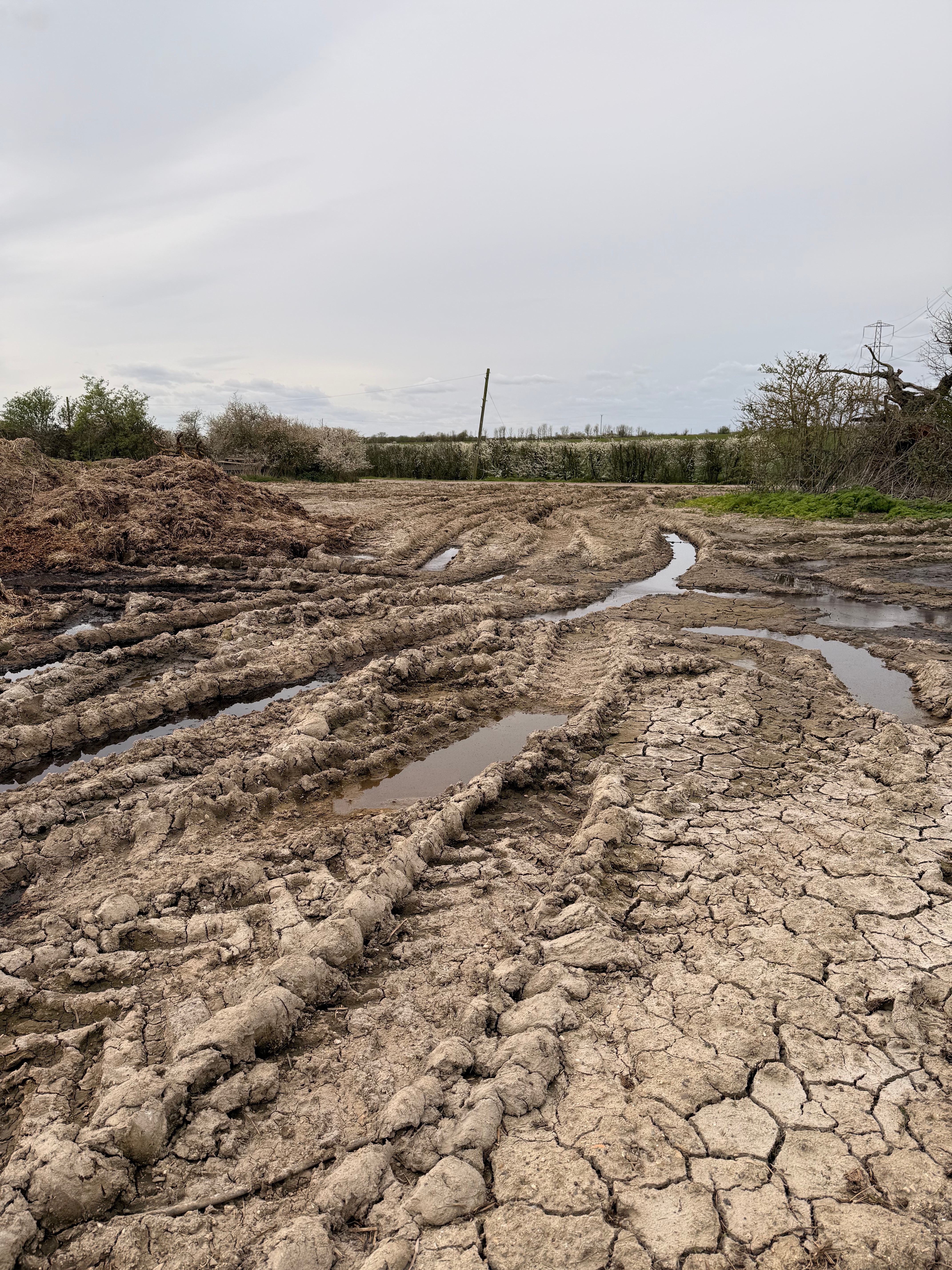
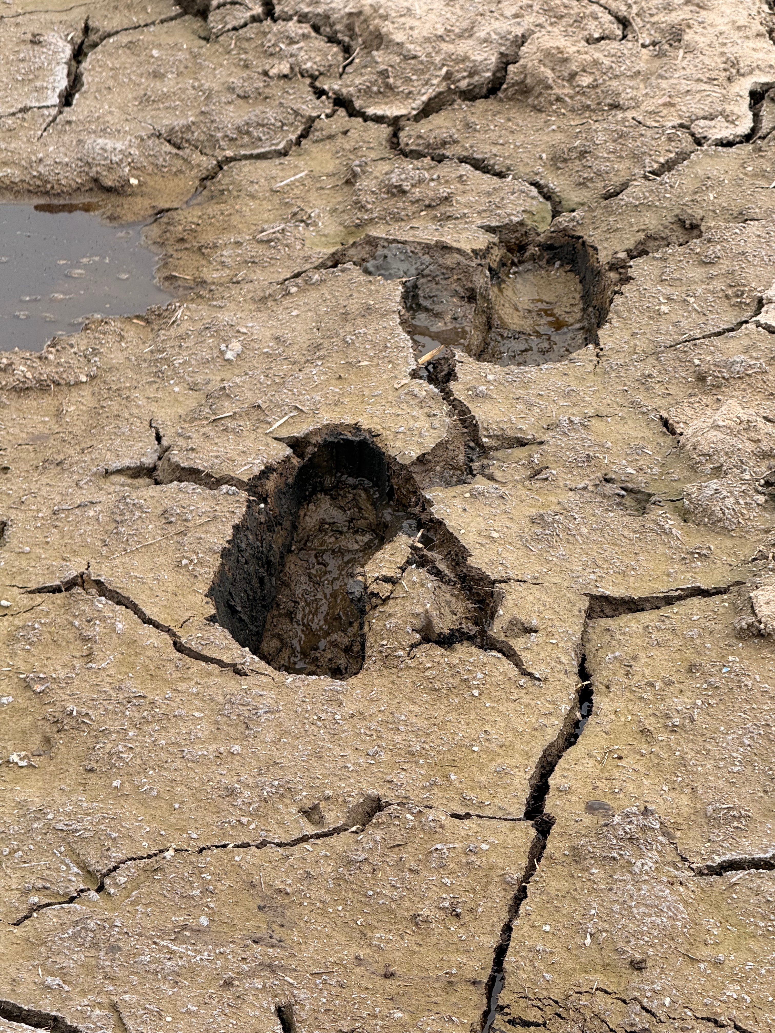
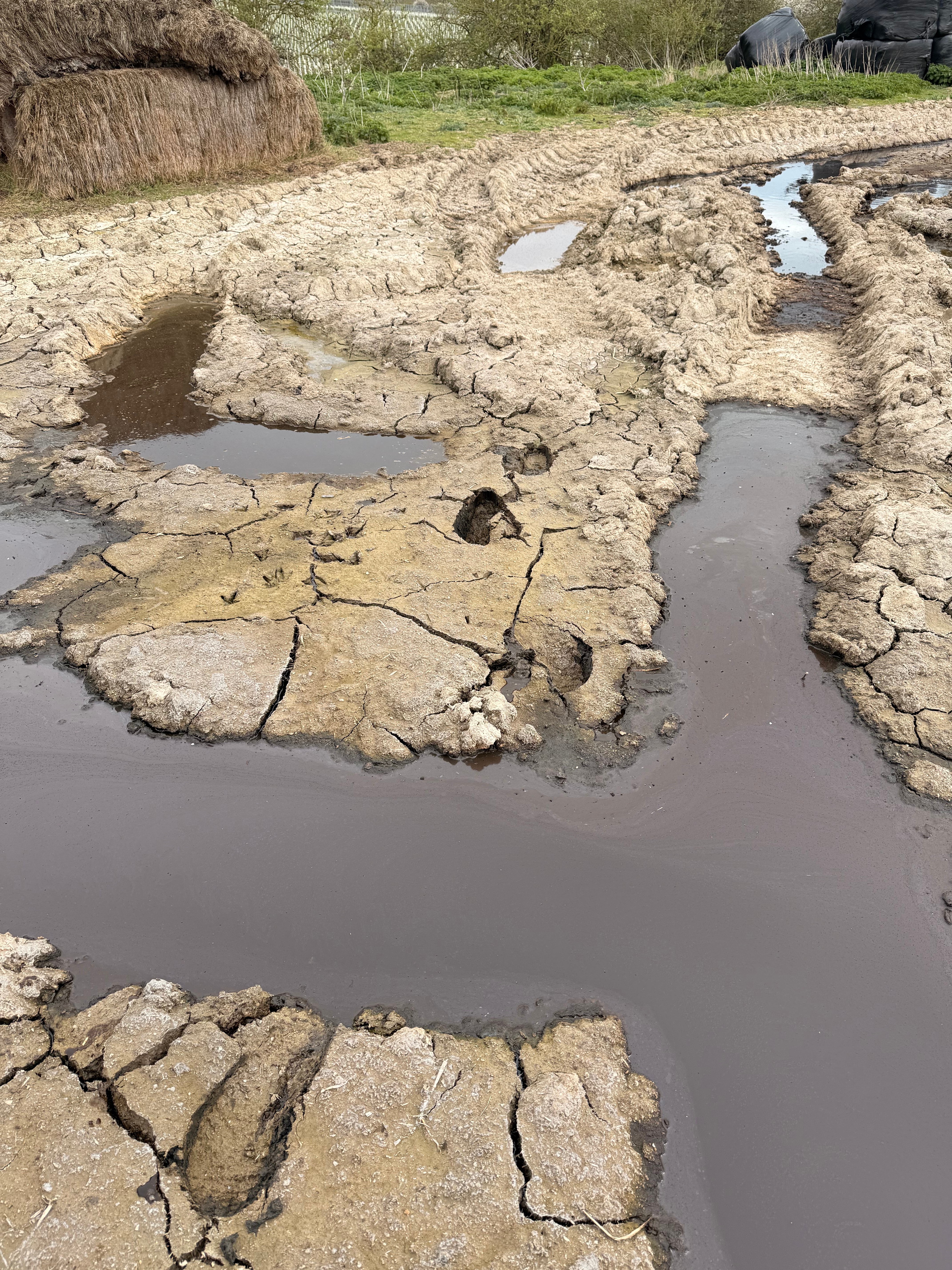
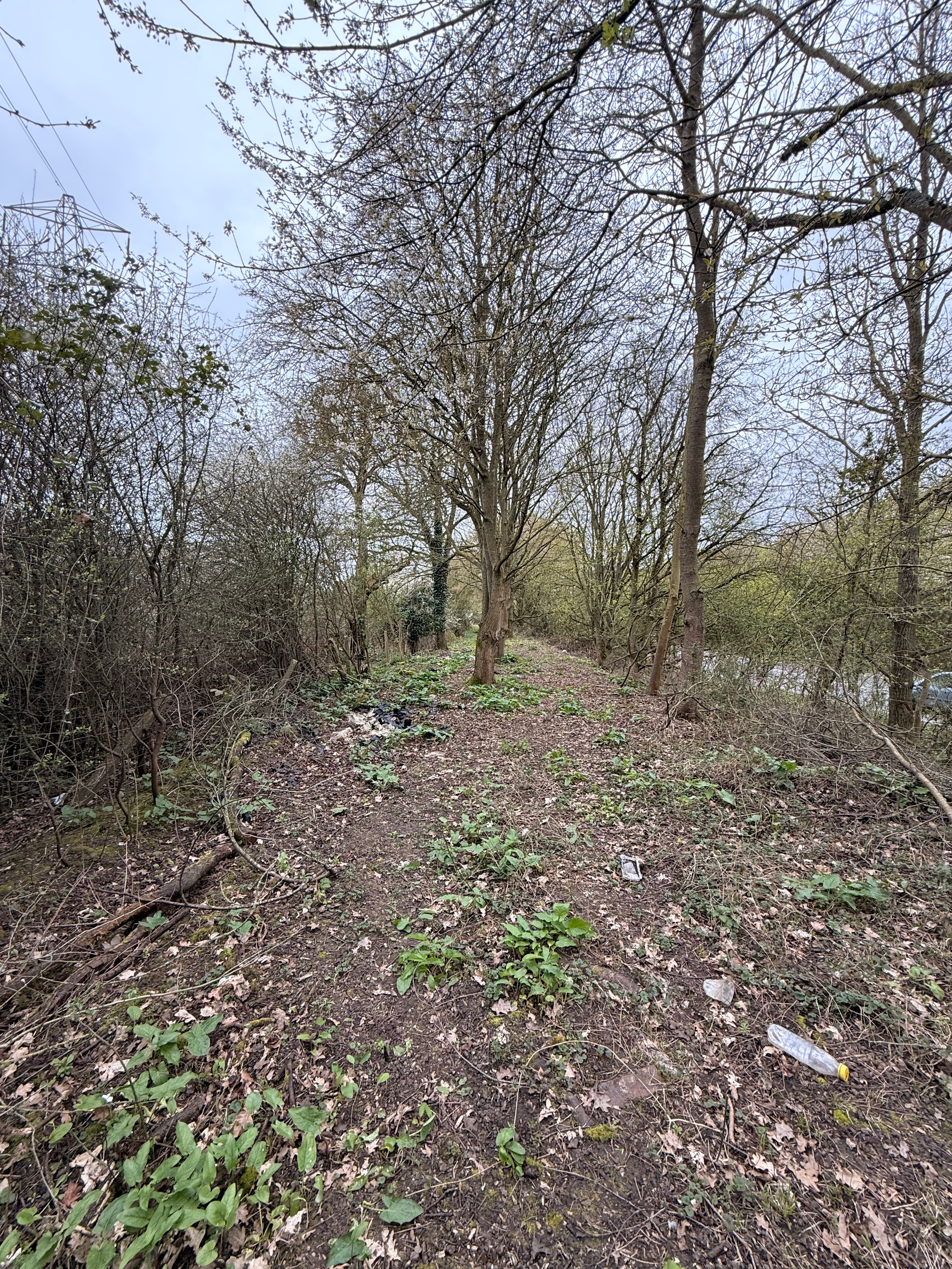
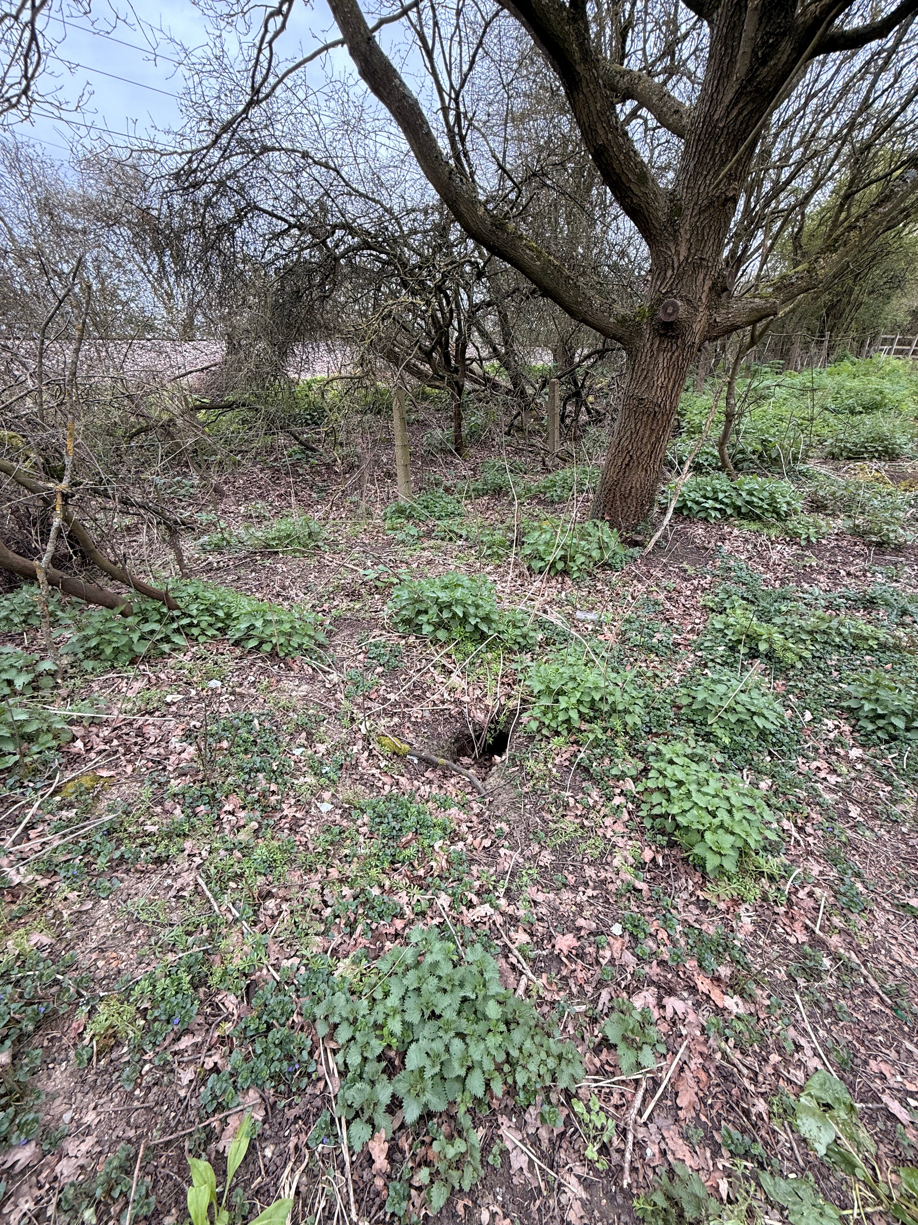
The route from here is recently cleared of trees and undergrowth. There’s no surface work, but its reasonably level. Foliage seems to have been cut at ground level rather than uprooted. Despite taking care, I stumbled on four occasions when I tripped on woody stumps protruding just above soil level. It seems pretty clear that there will be extensive regrowth here. Ground cover plants were already spreading and I suspect that many of the trees have effectively been coppiced and there will be new shoots from the stumps before too long. Side growth is also likely to be an issue, and the light newly reaching the floor will likely encourage blackberry incursion. As the path gains foot traffic, there will be some suppression through use but the maintenance task here should not be underestimated. My contact at Natural England noted:
‘I have previously discussed with colleagues at ECC that just clearing the scrub may not be sufficient and that there may need to be some form of surfacing (not metalled) if as I believe the enclosed nature means the ground lies wet for longer. The newly cleared areas will also encourage more vigorous side growth and spread of the likes of bramble and nettle. I encouraged them to consider seeding the length and then cutting it frequently (at least 4 times a year) to encourage a good grass cover but I don’t think this was undertaken.’
There’s an opportunity here for an infrastructure intervention that would decrease the maintenance task and expense by providing a surface suitable for bicycle use and giving the route the higher rights that would allow it. Making the route accessible to cyclists, with some surface work, slopes rather than steps and attention to a footbridge would also improve wider accessibility for walkers and wheelers.
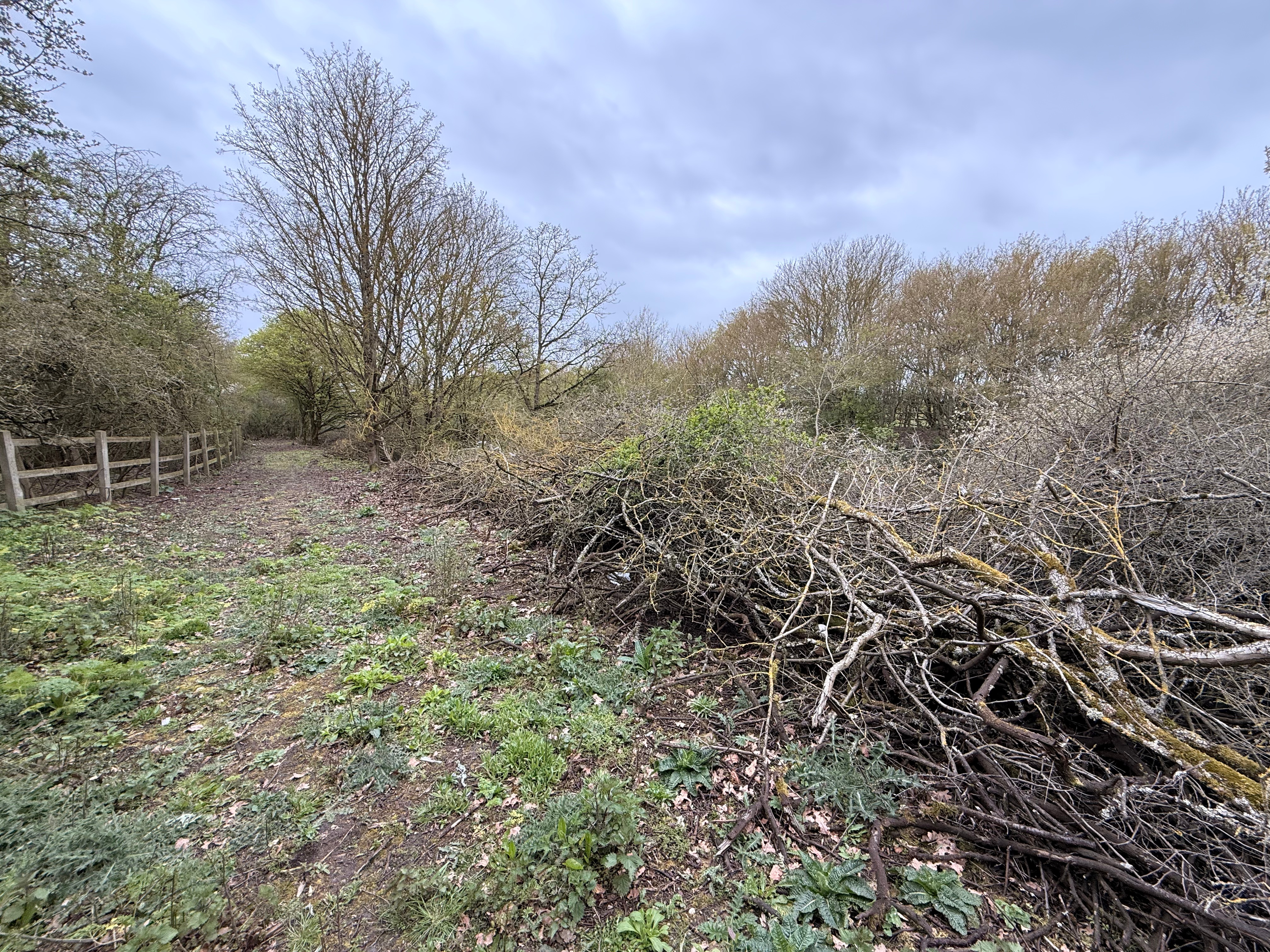
There’s a scramble up where the path meets Hayes Chase. There’s no assistive infrastructure here at all yet, so it’s a clear opportunity for an accessible alternative to more steps.
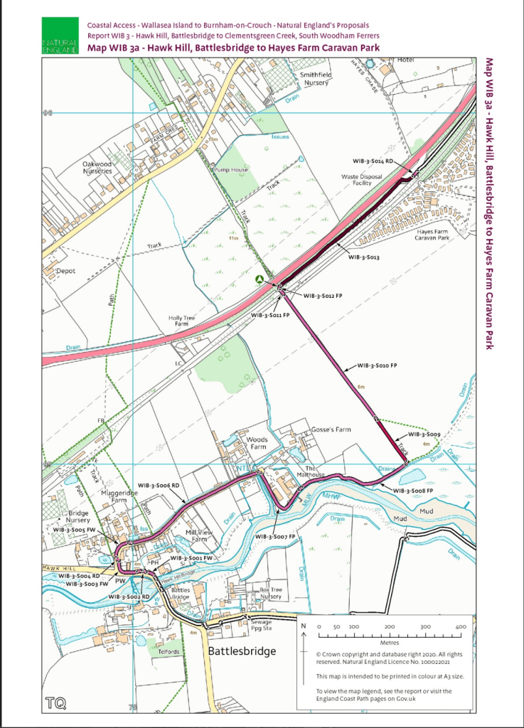
The route continues from Hayes Chase in much the same way it got there, on a path parallel to both the A132 and the railway line, with the dame challenges as before.
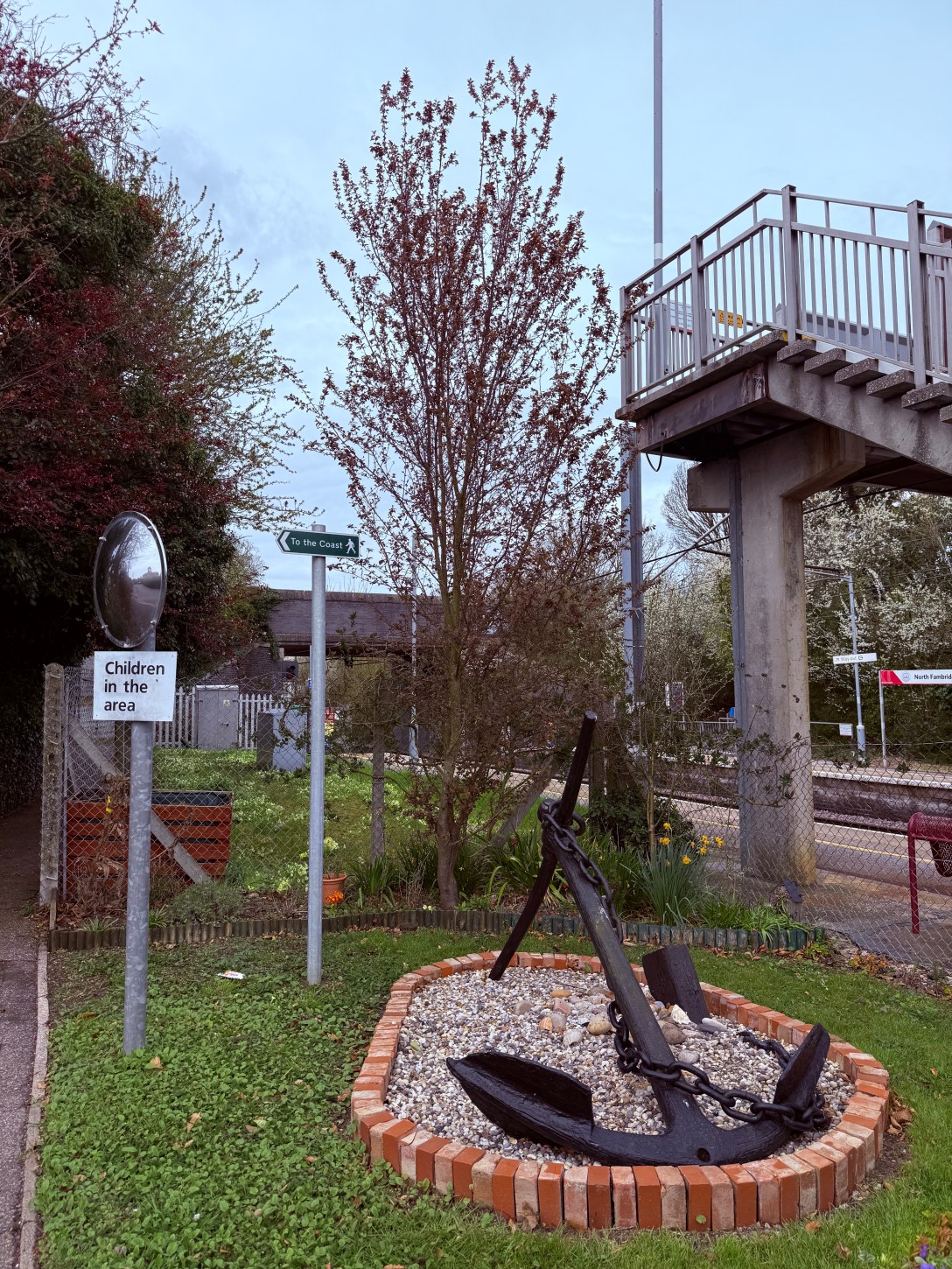
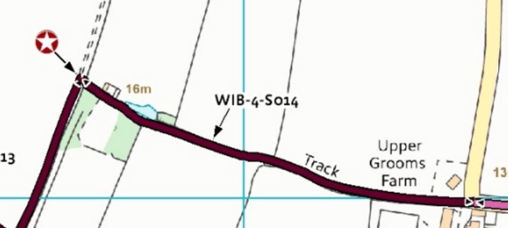
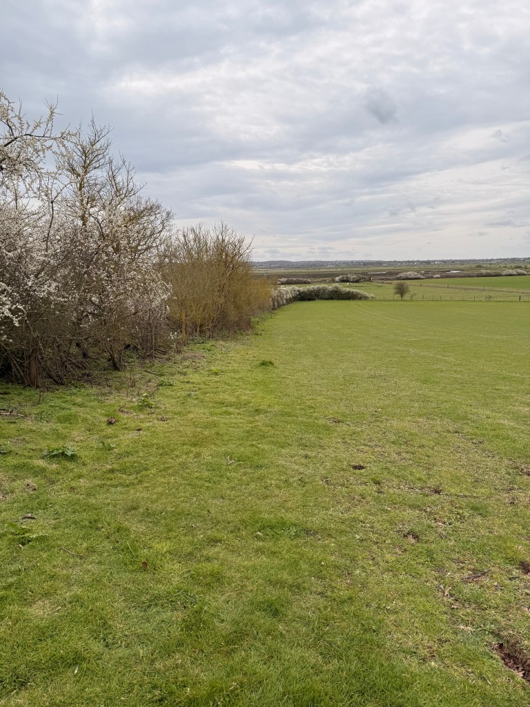
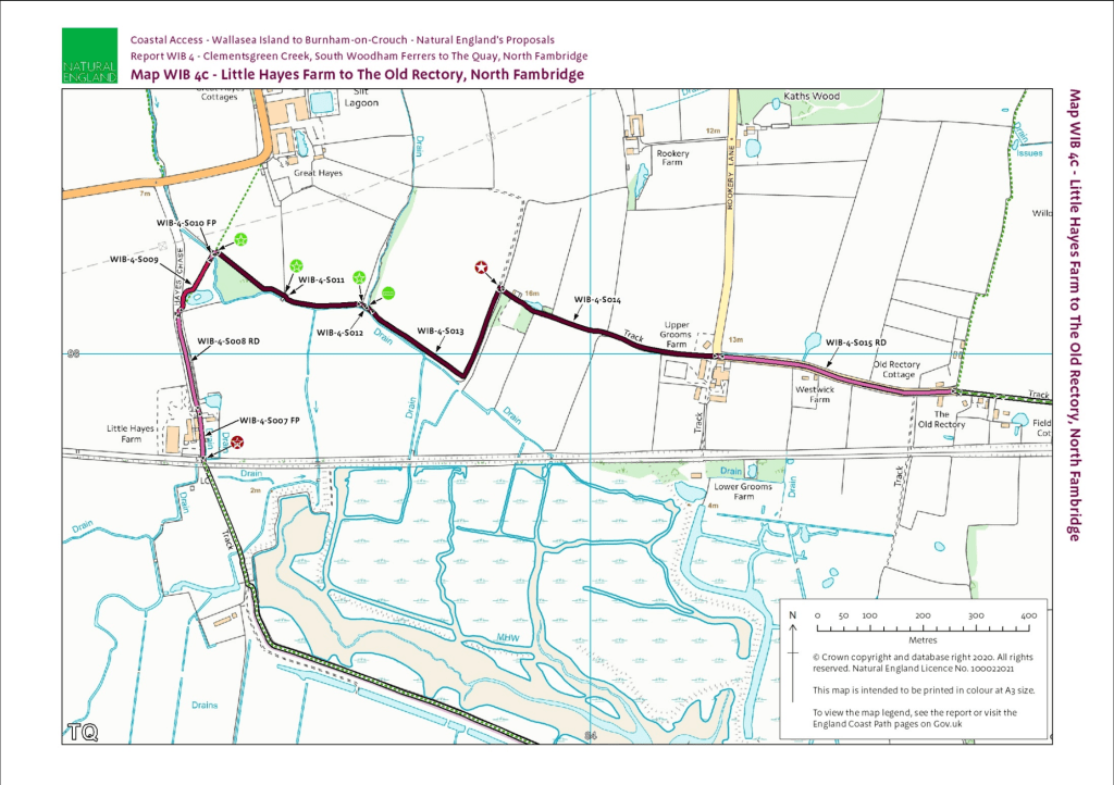
The new section concludes when it reaches footpath FP 27 229 and a bridge (Wis/803 (meesons)) over the railway line. It’s an easy walk from here down a gravel track to the sea wall and west on that to join Maltings Road.
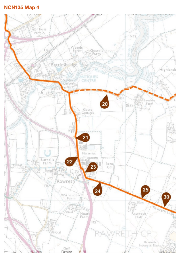
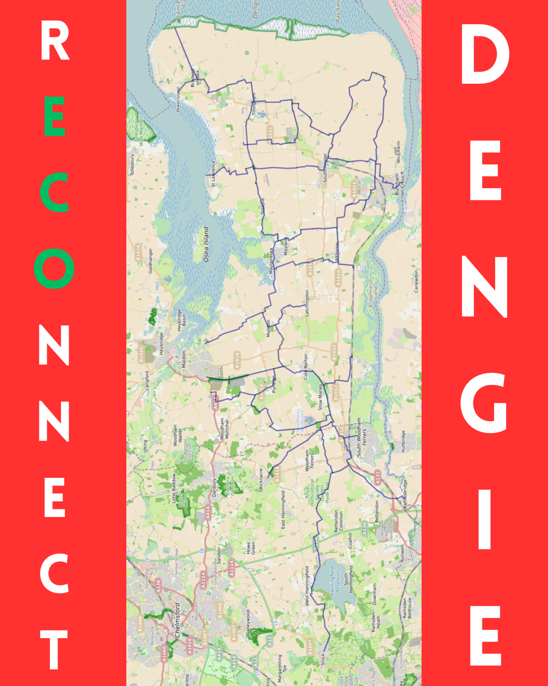
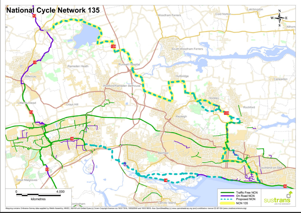
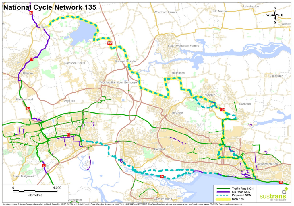
What about cyclists though? At this point we are very close to the proposed route of National Cycle Route 135 (Stock to Southend) [pdf] and potential for connecting South Woodham Ferrers and the Dengie peninsula into the national cycle network (as well as Battlesbridge railway station and local attractions Battlesbridge Antiques Centre, pubs and cafes). It’s not an opportunity we want to miss!
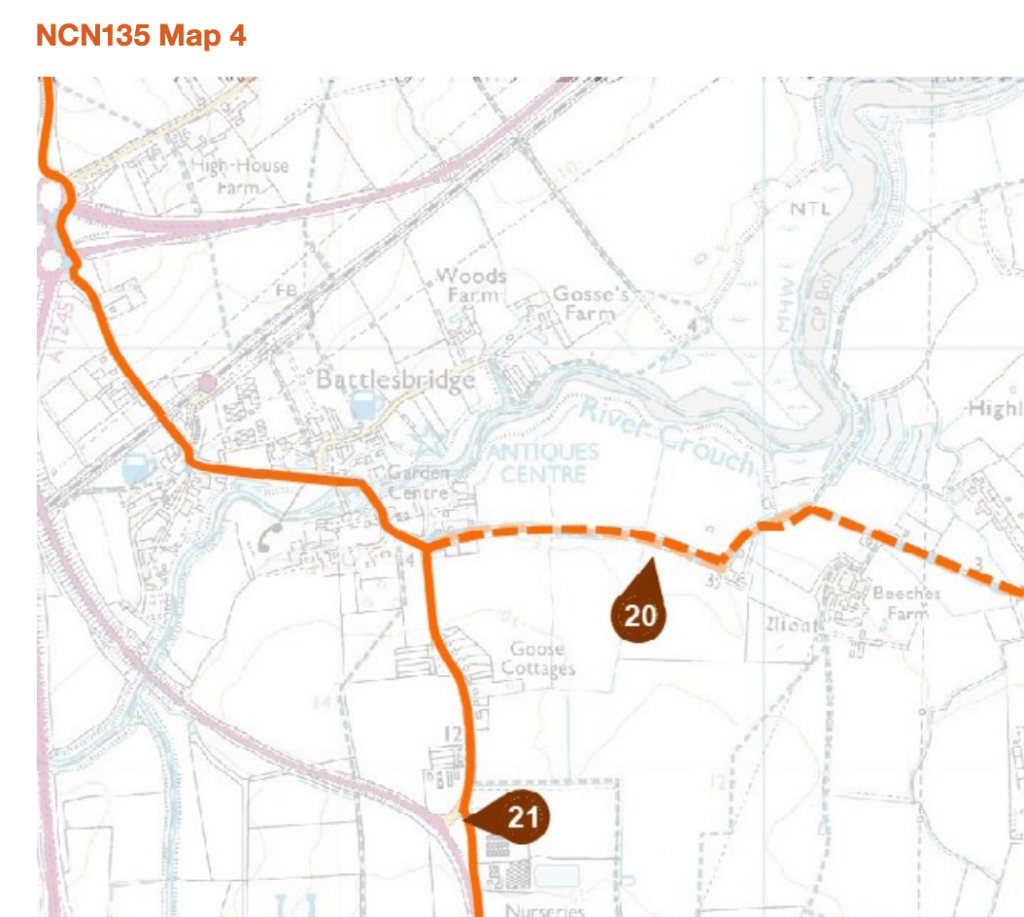
There’s the option again of upgrading existing footpaths and following the walking route, but are there better options?
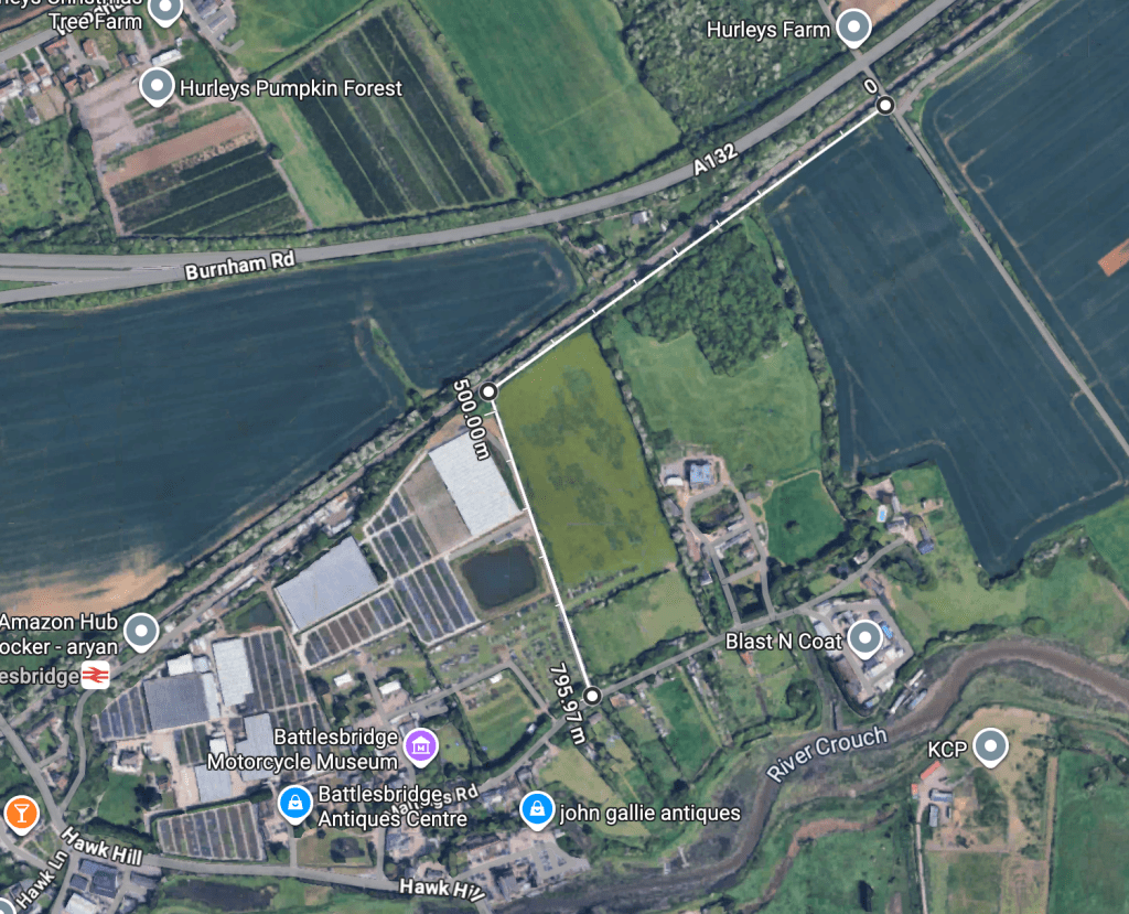
Why not carry on the logic of the KC3ECP in using Network Rail land between the railway line and the A132?
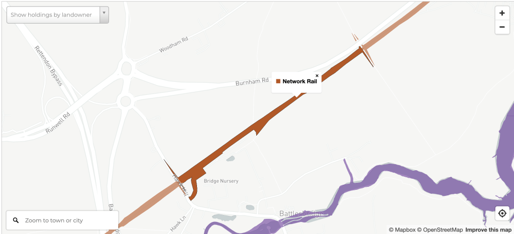
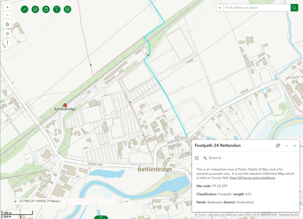
This could potentially offer a route all the way to Battlebridge railway station, although an interesting alternative might be offered where the railway crosses long-distance path the Saffron Trail (footpath FP 24 229 at this point) to then take that path south to Maltings Road instead.
If we want to ‘Connect Essex through Cycling and Walking‘ then we have to think about cycling and walking, and identify opportunities where infrastructure for one can offer opportunities for the other – making wheeling easier in the process too. This is what a true Local Cycling and Walking Infrastructure Plan for rural Essex looks like.
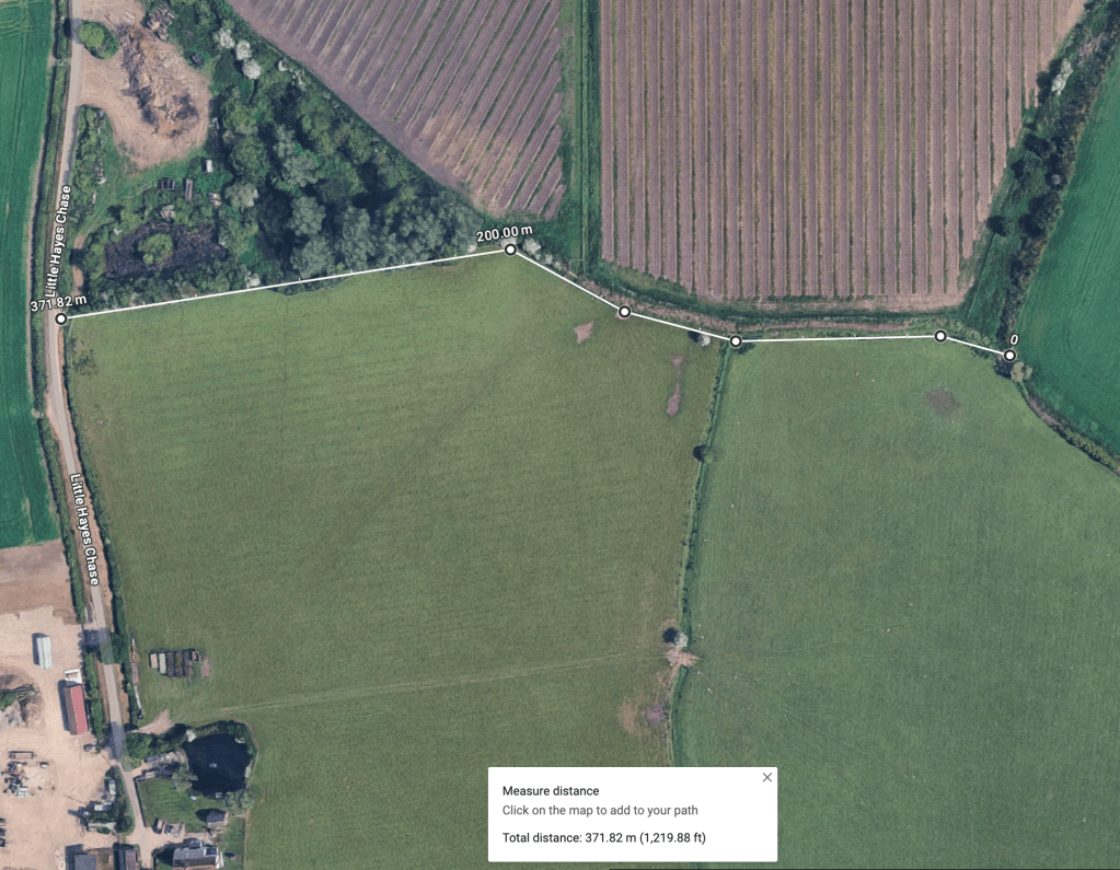
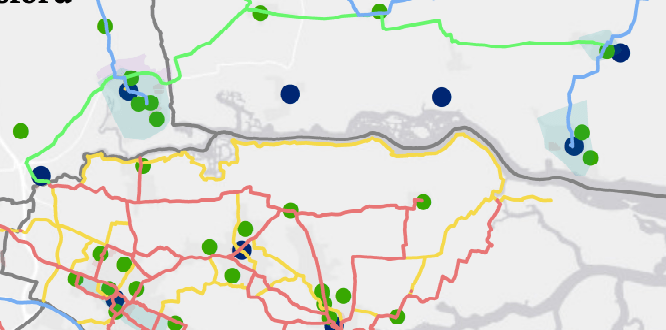
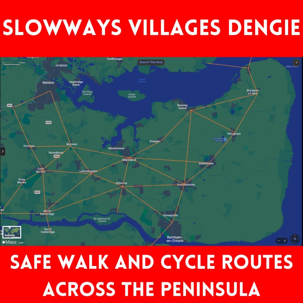
Here’s my vision for what a cycle route between South Woodham Ferrers/The Dengie and Battlesbridge/National Cycle Route 125 looks like in total: