
Last Sunday I participated in a stage of Beach of Dreams, walking between Bradwell Waterside and Burnham-on-Crouch. Beach of Dreams is an art project initiated by Ali Pretty of Kinetika, it’s a collaborative 500-mile walk between Lowestoft and Tilbury
Kinetika’s Artistic Director, Ali Pretty, radio producer John Offord and Guardian journalist Kevin Rushby are walking the entire route, joined by artists, writers, scientists, and local residents. Together, guided by strong environmental themes and the challenges of our current time, they will consider the question “How can we creatively reimagine our future?”
https://kinetika.co.uk/beach-of-dreams
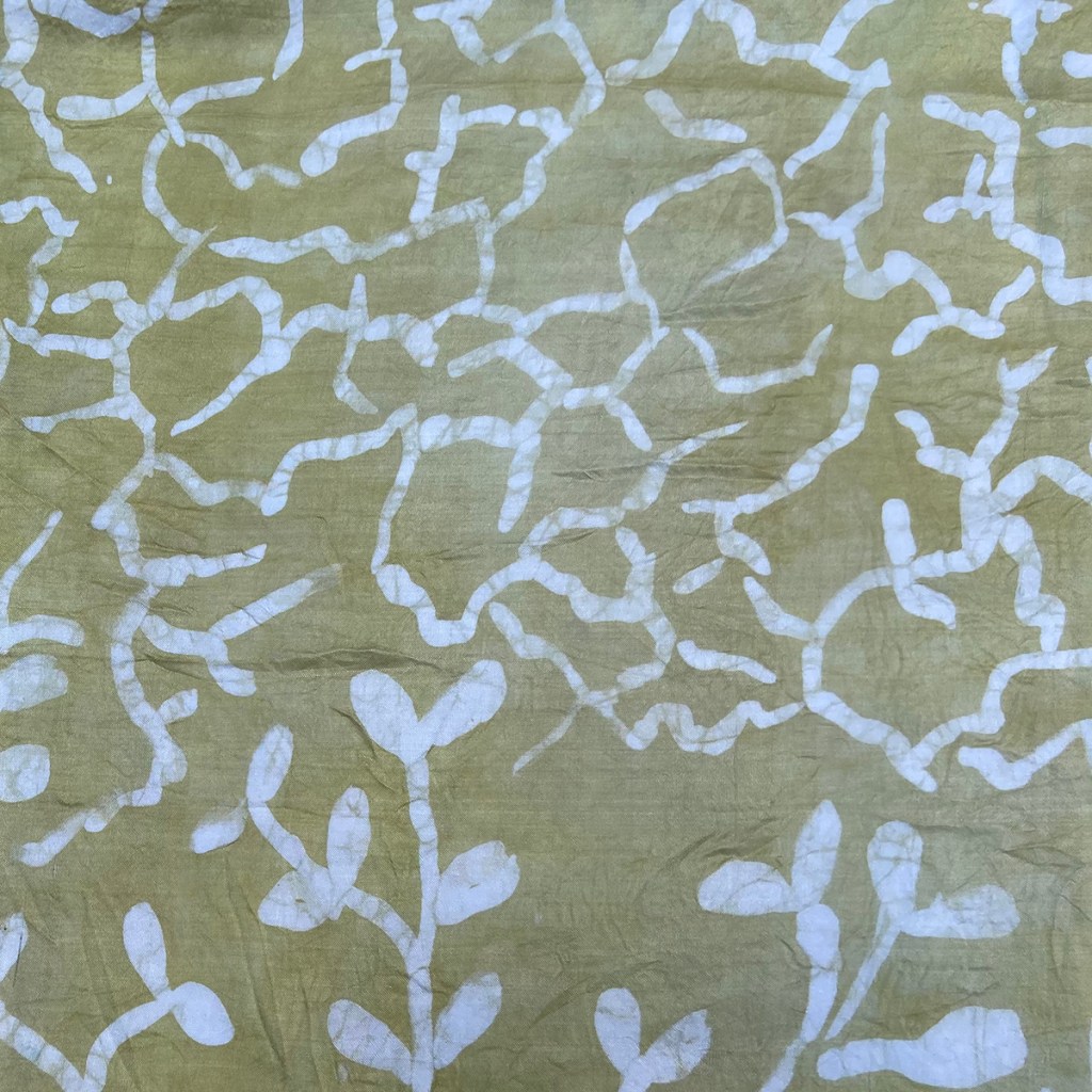
Folk living en route were invited to choose a mile to walk, and to submit an image of the landscape, a drawing and a few words about their connection to it and their dream for its future. The images submitted were used as inspiration for the design of 500 silk pennants illustrating the coastal landscape and its challenges.
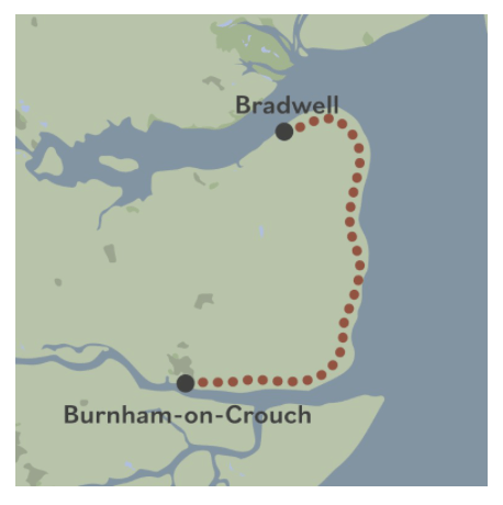
The 17-mile route 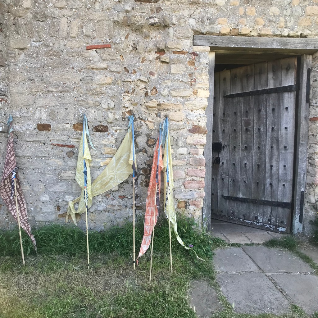
Pennants outside St Peter’s Chapel 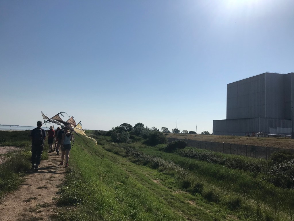
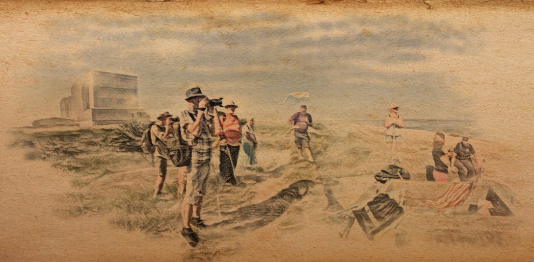
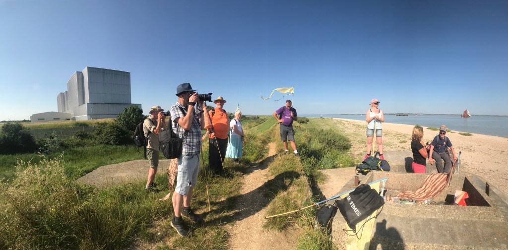
Starting off
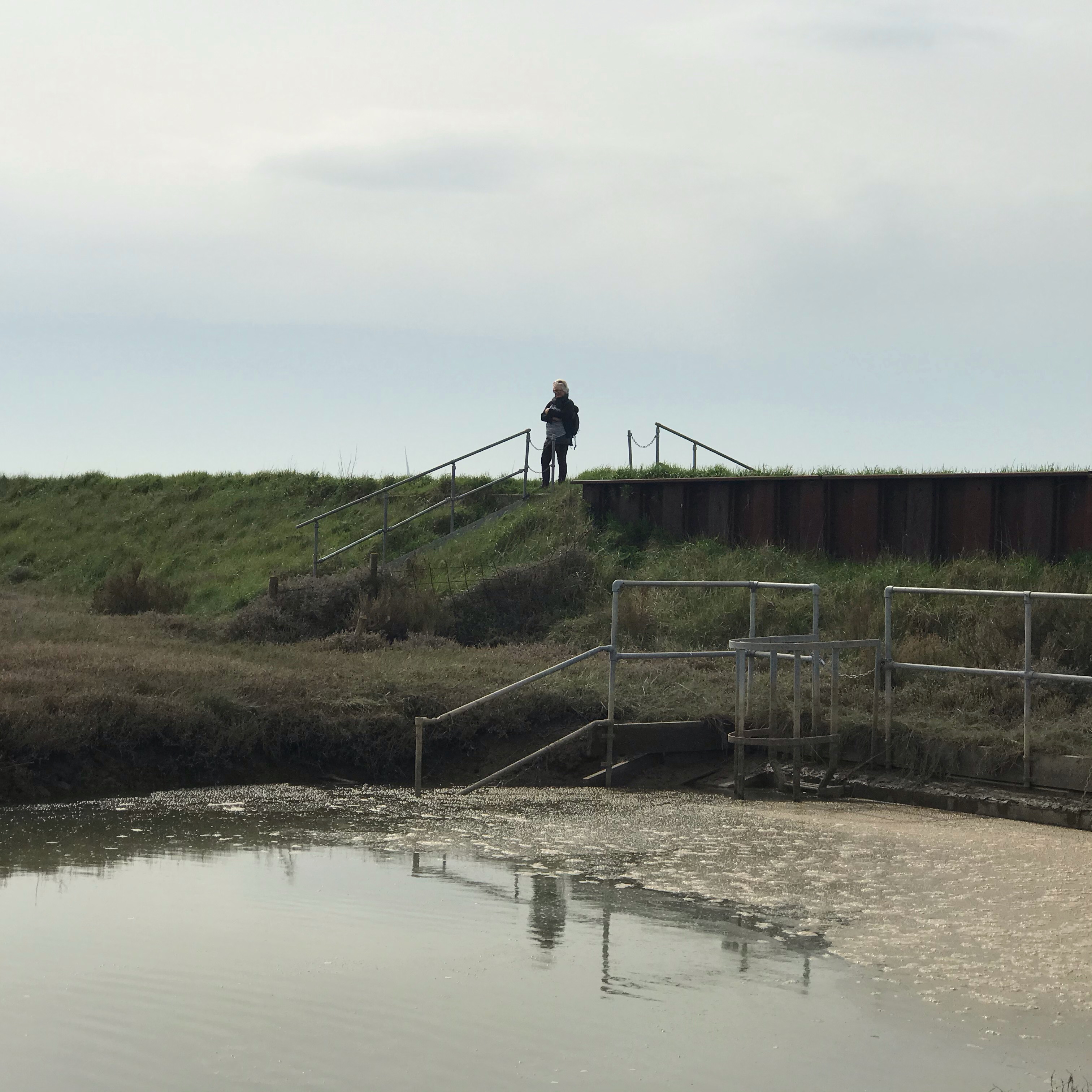
As soon as I learned about the project and the fact that it was travelling through the Dengie Bioregion I was keen to participate. I decided to adopt Mile 310 way out along the coastal path, around where the canalised Asheldham Brook meets the barrier of the sea wall and is finally released to its own devices by the Grange Outfall.
On 31st March, Claire and I got the bus to Tillingham then struck out east along along Grange Road and footpaths via Midlands and Howe Farm to the seawall between Howe and Grange Outfalls. It was one of those bright warm spring days and too early in the year for much tourist traffic, even in a plague-free year. We picnicked on the crest, then I scouted about and photographed – searching for an image that might both speak of this place and have the potential for abstraction into a pattern on a flag.
In a way, I had rehearsed this before. During the bioregioning workshops I lead I used to have an exercise in which I encouraged participants to mentally picture their life places and then to 1) map out the zone in which, when they crossed its threshold, they knew they were home and 2) to identify some plant, animal, other life-form, or landscape feature they associate with that place and make a flag of it. The first part was the start of what Common Ground calls parish mapping, the second was citizen vexillography – claiming back the canvas of the flag from battle standards, heraldry, and national projection for a more parochial purpose. I’ve dropped that from the session now but perhaps I should bring it back – participatory flag making sitting alongside citizen mapping as another tool in the local imagining of better futures.

The attractions of this mile were many. There’s the remoteness of course, the sense of distance from anywhere substantial (if somewhere you can get to from your house from via a bus journey and an hour’s walk can be called remote). The Kinetika site lists the stretch between Bradwell Waterside and Burnham as ‘seventeen miles without habitation, save for the religious community beside the 7th century St Peter’s Chapel,’ and you do seem very far from in-habitation here. Sure, there are farm buildings visible – but it’s rare to see people. Modern agriculture is like the neutron bomb – it removes the population and leaves the infrastructure. Do those few that do live out here inhabit the land either? They don’t eat from these fields, they heat their homes with imported fuel oil, their drinking water is pumped from places miles distant, they are a settler culture on ground stolen from the wild and walled-in.
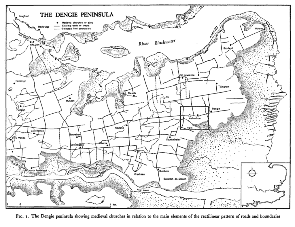
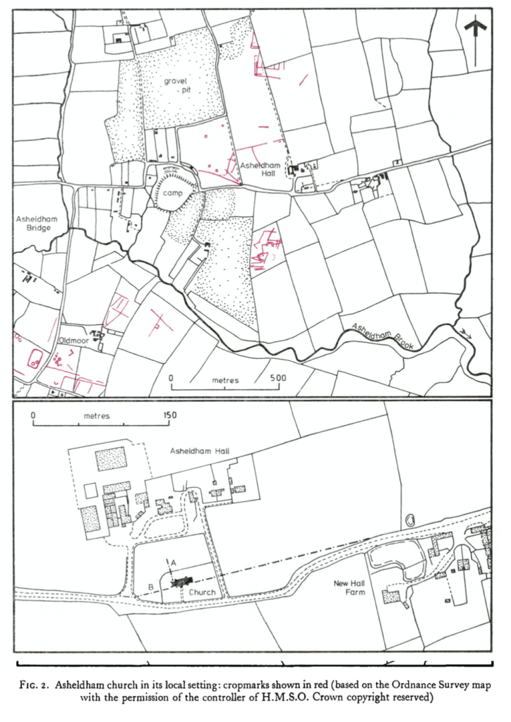
Asheldham Brook probably doesn’t seem much to the casual viewer but it’s one of the main drainage systems for the Dengie peninsula, rising somewhere on Steeple Hill and curling through Asheldham and out into the former marshes. It’s a rare source of freshwater for irrigating the arable landscape and that abstraction probably tames it more than the straightening out as it approaches the seawall. That wall is, of course, the real restraint, holding back tidal flows inland and the infiltration of brine. A 1978 article in The Antiquaries Journal claimed that ‘Within living memory [Asheldham Brook] was navigable by sailing barges as far as Asheldham Bridge’ and that ‘Asheldham Brook is the only navigable channel to penetrate the saltings as far as the terrace, and hence it may be assumed to have had some strategic importance in earlier periods.’ Indeed, in 1985 archaeological investigations identified a late bronze age/early iron age fort dating from 1000bc to 400bc: ‘Asheldham Camp’, as well as evidence of later Roman and Saxon occupation of the area.
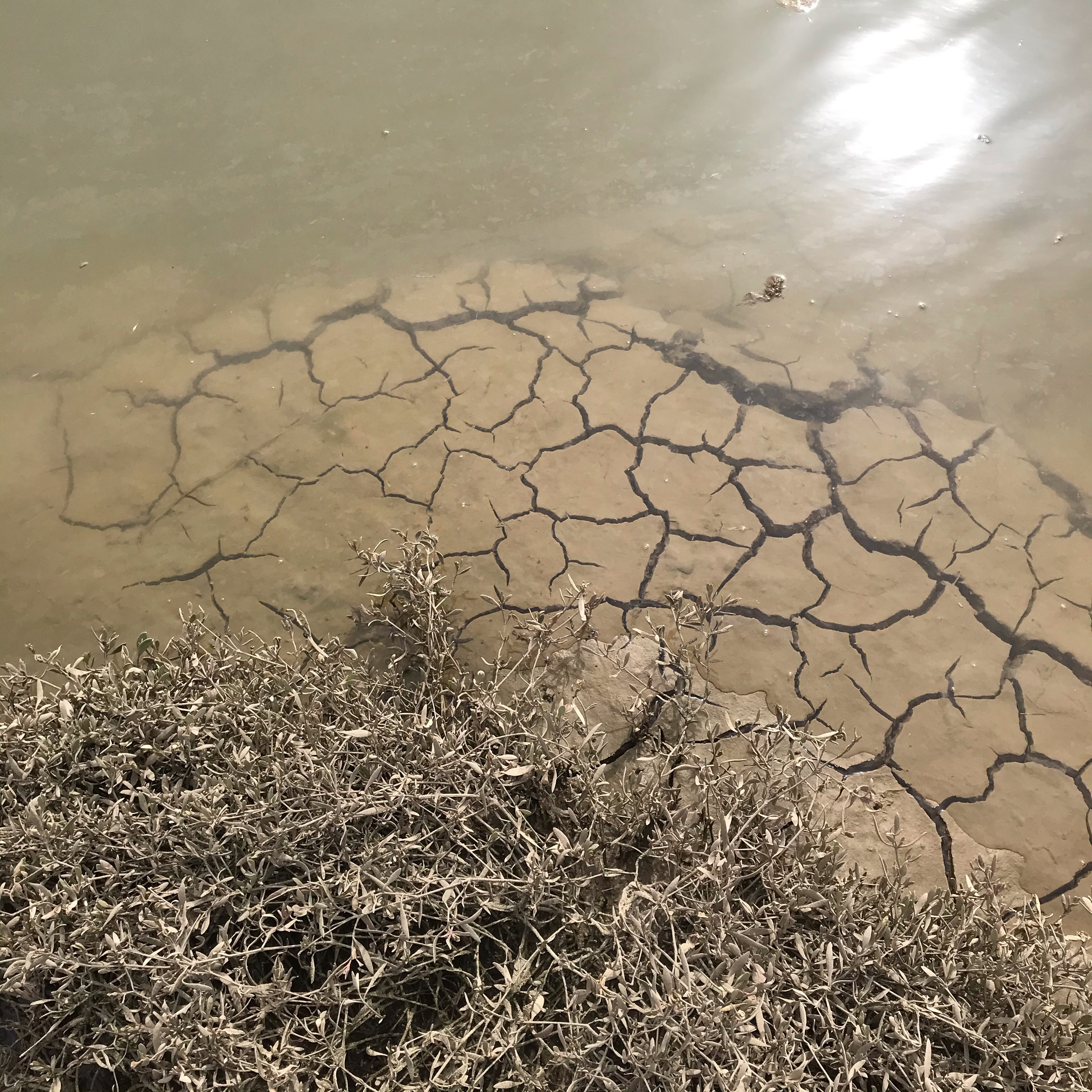
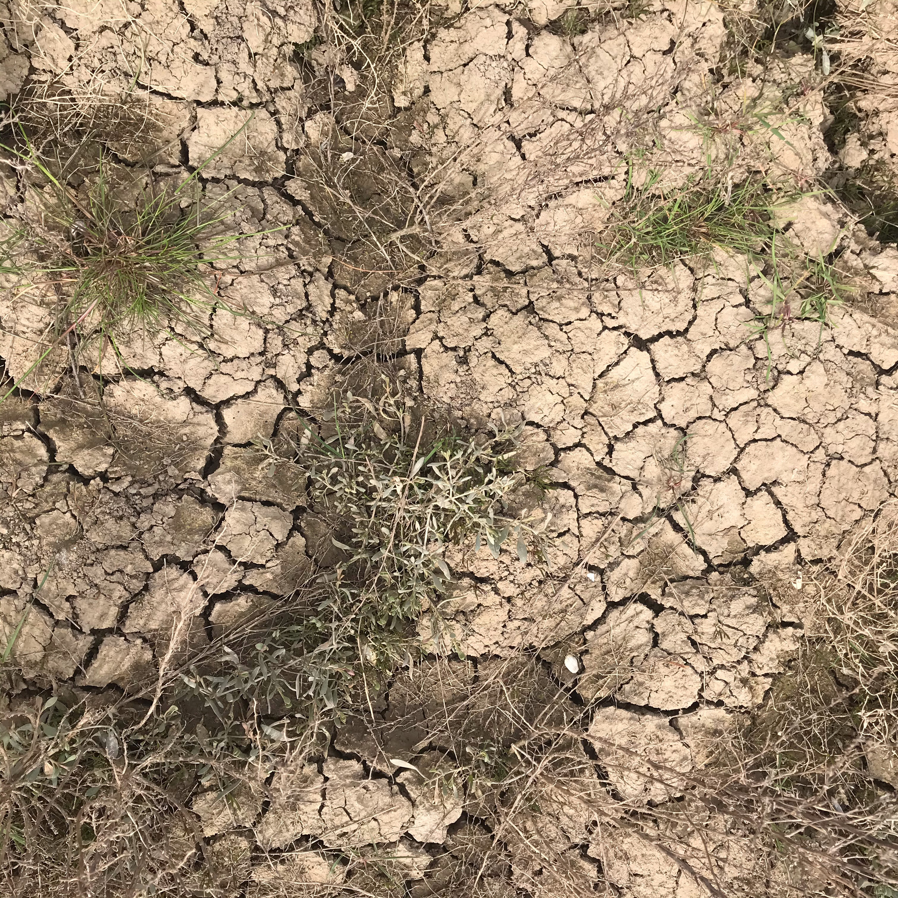
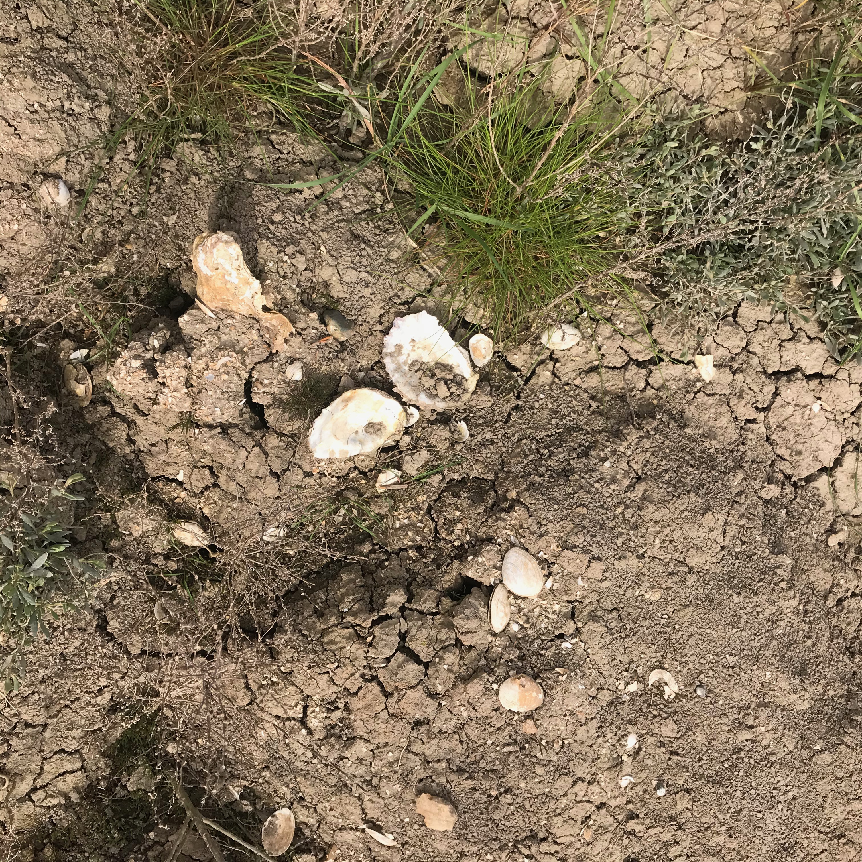
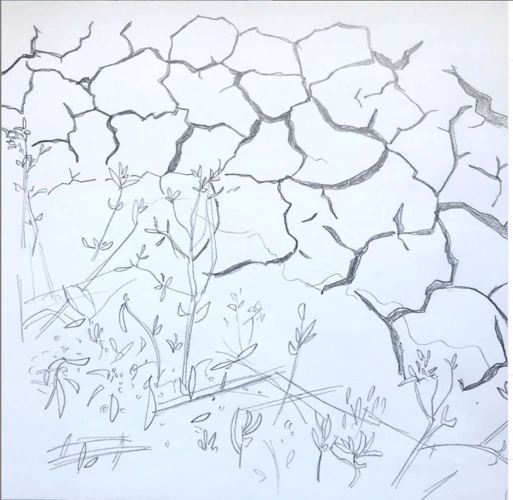
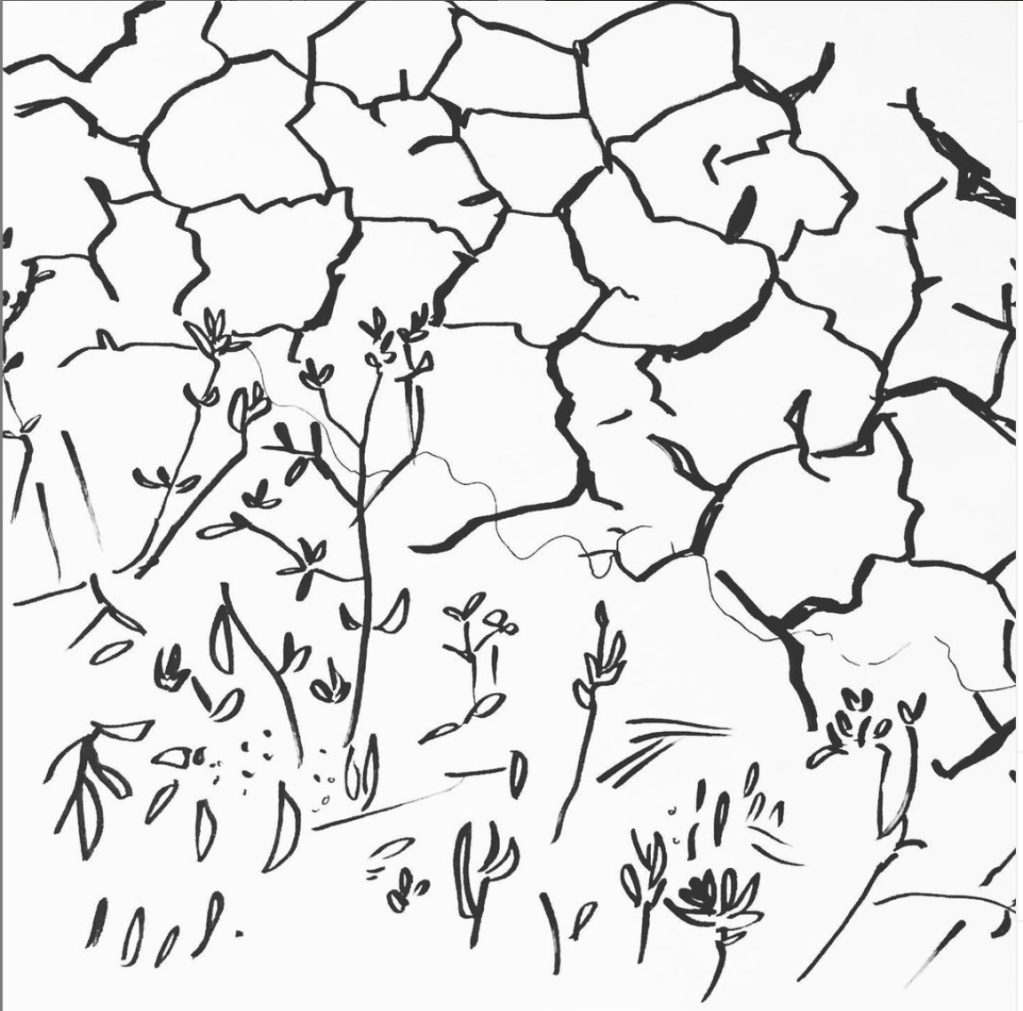
So, I considered an image of Asheldham Brook – an aerial photograph would have been ideal, but I couldn’t take one of those myself. Instead I got down closer to the surface, on the seaward-side of the wall, where the silt/clay substrate is revealed by the Brook, punctuated by Sea Purslane and other saltmarsh flora. Back at home, I used one of these photographs to make a pencil sketch, then a more abstracted ink drawing. On the day of the walk it was great to be handed a pennant to carry with this image further transformed onto silk.

For the text to go with our chosen miles participants were asked to:
In 300 words or fewer, describe:
*What drew you to this particular square foot of the beach/land? *Describe what you see.
*What connects you to this mile, who do you share it with? What are your memories?
*What are your dreams for this place? Imagine what would you like it to be for your great, great, great grandchildren in circa 2100.
*Give your writing a title.
This is what I wrote:
Time for a managed retreat?
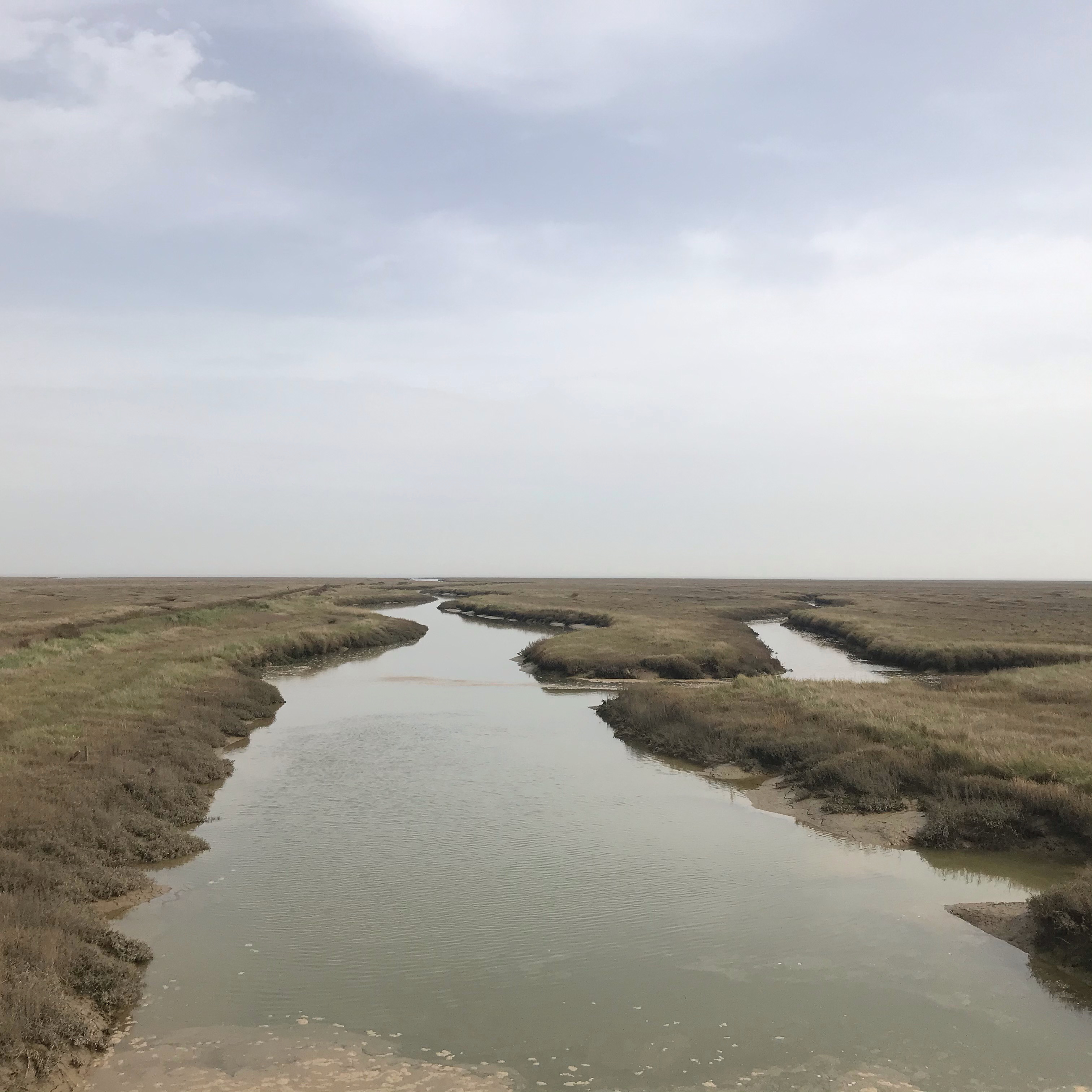
The coastal path bisects the landscape. To the west, the straight lines of the sea wall, are mirrored in the borrow dykes running parallel, the field edges of reclaimed and enclosed land, the last contained stretch of Asheldham Brook. To the east, in contrast, are the crooked rills in the saltmarsh, the wider winding channels, the creeks labyrinthine
I’ve walked this way with my partner, with my Dad and alone – both by day and over a full moon summer night. I love to hear the overhead song of the skylark, glimpse a meadow pipit, scan the path ahead for basking adders, study the fields for hares, see the changing palette of colours as sea lavender and purslane come into flower.
We need a better dialogue between the landscape of man and the more-than-human world beyond, a realignment of land and sea. I see a future where the salt meadows are allowed to flourish, where we take down the barricades, where a flourishing, diverse and regenerative farming practice meet the wildlands and the living sea.
When we got to Grange Outfall we sat down and rested. Ali handed me her notebook containing all the words folk had submitted and I read my text aloud, adding some details, pointing towards some of the things I described, gesturing towards the seal colony out where the marsh meets the mudflats. In his write-up of the day Kevin Rushby remarked on some of the things I said, touching on my usual rants (somewhere in the day people started calling me Jamie, which I don’t normally go by but in typical English fashion didn’t correct, so I’m Jamie in his blog).
Earlier in the day we had rested in other places, in the lee of the entombed Bradwell Nuclear Power Station, inside the cool stone chamber of St Peter’s Chapel, on the elbow of one of the last innings looking out over the mud of St Peter’s Flats. In those places we had heard about other miles from the artist Angenita Teekens, from Richard and Debbie from the Othona Community, and from the writer Ken Worpole. They spoke about the atomic box, the Blackwater Estuary, big skies, bombing ranges, Christianity, coastal squeeze and sanctuary. Current and future sea-level rise was never far from discussion and, at least in the beginning when we moved about its land-claim, the presumptuous Bradwell B. This proposed big brother to the decommissioned station would, if permitted, dwarf it’s dead sibling and sprawl across the headland – it’s site butting right up against the Othona Community and St Peter’s.
Linda Gemmill from BAN, the Bradwell B Action Network Community Group brought news of their campaign to the walk – imagining a world beyond nuclear fission. I spoke to her about the village plans for home and community energy, an alternate future to the state-corporate behemoth beyond local control. The Othona Community, which is already off-grid, is raising funds for a second wind turbine (you can support it through Angenita’s crowdfunder.)
So, the coast – as elsewhere – has contested futures, different dreams. There seemed to be some affinity between the dreaming of the walkers but then the communities and artists who are drawn to a project like this are a biased selection.
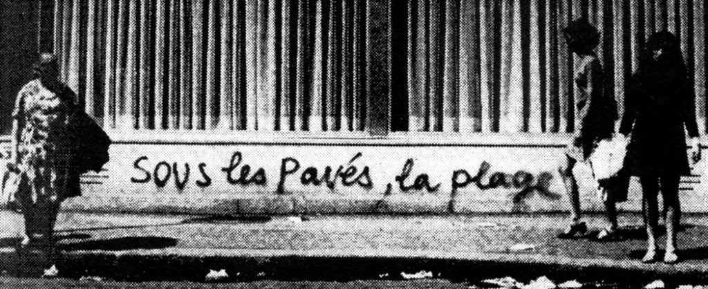
For me the name Beach of Dreams evoked the Situationist slogan of Paris, May ’68: Sous les pavés, la plage! Underneath the pavement, the beach. Prosaically it described the sand base which protestors found beneath paving stones when they lifted them to make barricades. Poetically, mythically, it declared that close-by, under our very feet, a wilder, freer version of ourselves and our world existed, repressed just below the flattening strictures of modern existence.
Sous les pavés, la plage des rêves! Sous les barricades, la plage des rêves! Sous les digues, la plage des rêves.
For much of human existence we were beach dwellers, not cave dwellers – with makeshift shelters hugging the planet’s coasts where the bounty of the seas flourished. The coast was often an easier source of sustenance than the interior. In the earliest known human occupation of what are now these islands we find traces of our forebears, half a million years ago, on the beach. We find those traces beneath shifting sands, relocated coastlines. The famous horse-butchery site in Boxgrove, West Sussex reveals another time of climate change – but then the sea-level was falling not rising.
The back and forth of these aeonic tides are like the slow respiration of some giant god sleeping.
A week earlier the beach-dreaming pilgrims might have crossed one of Clacton’s paleochannels: ghost waterways, ancient sites of the early Essex humans that, in deep time, were near contemporaries of the Boxgrove people. When we ponder how we might live on this planet, thrive and flourish within natural limits, then I think it’s useful to consider this long view. Two hundred thousand years of homo sapiens, two million years of the long-human – all the family of the genus homo. Our dreams should not be constrained by the walls of modern alienation.
The dream is the small hidden door in the deepest and most intimate sanctum of the soul, which opens to that primeval cosmic night that was soul long before there was conscious ego and will be soul far beyond what a conscious ego could ever reach.
Carl Jung, The Meaning of Psychology for Modern Man (1934)

Thank you for this very informative blog. I particularly liked the beach underneath the pavement analogy.
LikeLiked by 1 person
Eloquent and wise words James. It was lovely to meet you at last, and I hope you enjoyed that much can’t pint at the end of your hike.
LikeLiked by 1 person
Good to meet you too – a welcome Brewer’s Gold was had outside the White Harte!
LikeLiked by 1 person
Curse of the predictive text! That of course should have read earned.
LikeLiked by 2 people