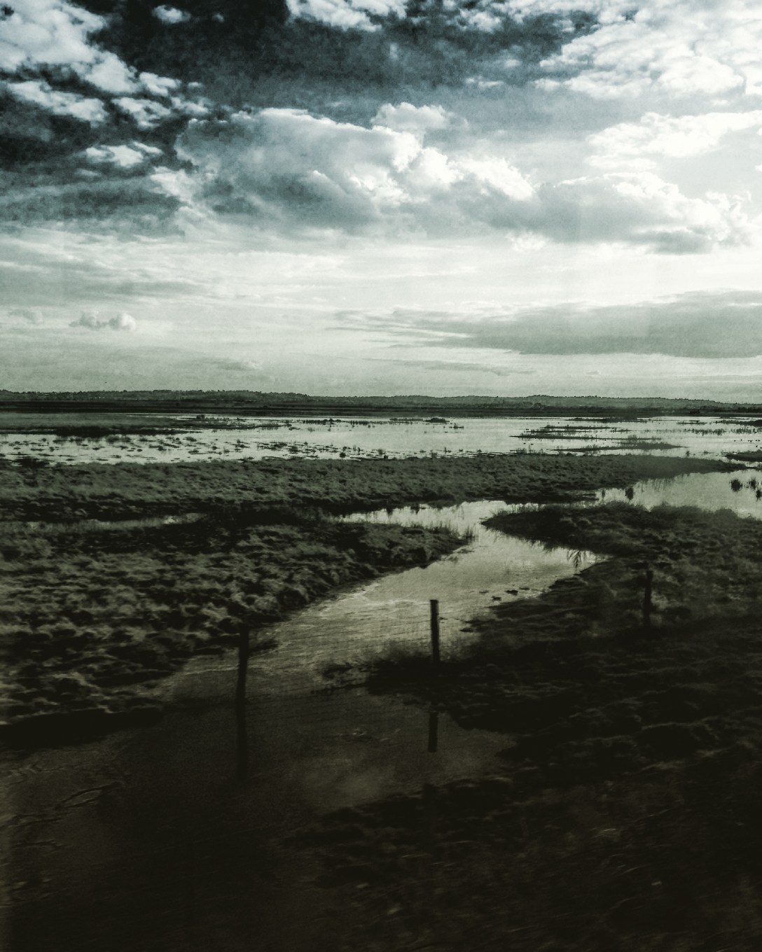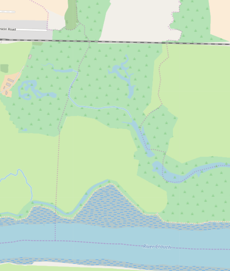
When it comes to catastrophic flooding in Essex 1953 tends to get all the coverage, but the inundation of 1897 was equally noteworthy – after breaches in the sea walls 30-35,000 acres of farmland were underwater. Eventually most of that land was re-claimed, but a stretch of the north bank of the Crouch, near North Fambridge, still reveals an area that was lost. Known locally as the horseshoes (not to be confused with the Three Horsehoes on Burnham Road) these artificial bays reflect the fall back defensive line that eventually became the de facto border between land and water when the original sea wall could not be rebuilt with the labour and resources available, The Google aerial view reveals something of the lost wall and lines of wooden stakes are visible at low tide marking where it would have been. Continue reading “Desk Research: Two Horseshoes”