
The latest Essex cycling & walking plan is out for consultation. I’ve just taken a quick look and this is my hot take.
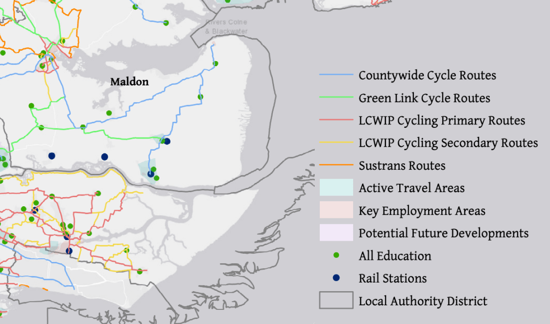
4 of the proposed cycle routes go through the Dengie:
Mid Essex Cycle Route 12 (Burnham-on-Crouch-Southminster-Tillingham-Bradwell-on-Sea)
Mid Essex Cycle Route 13 (Maldon-Latchingdon-Mayland-Bradwell-on-Sea)
Maldon Green Link 11 (Mundon-Purleigh-StowMaries)
Maldon Green Link 19 (Cold Norton-Latchingdon-Southminster)
Mid Essex Cycle Route 9 also skirts the Dengie (Danbury-South Woodham Ferrers)
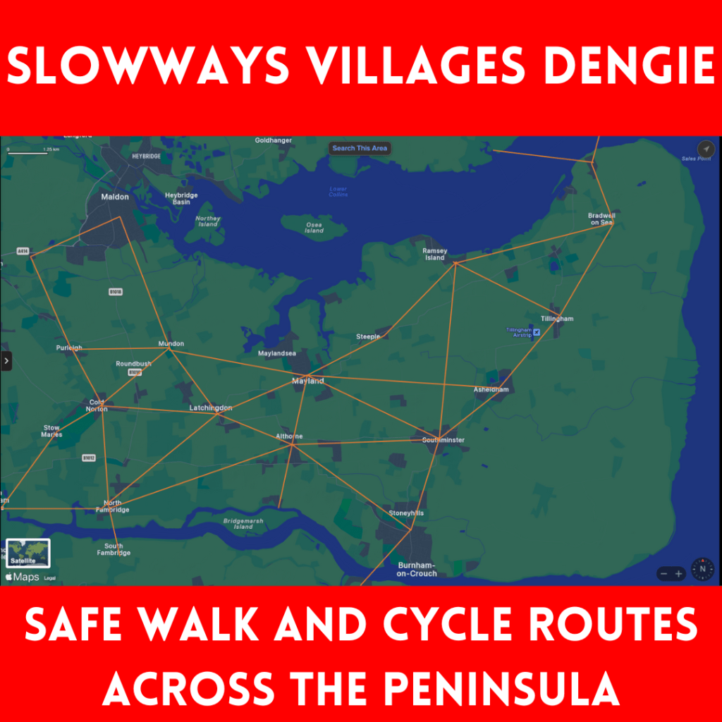
These would help move towards the #rECOnnectDengie ‘Slow Ways Dengie’ vision but a quick look already reveals the lack of:
- a south Dengie route connecting through to National Cycle Network route 13
- routes connecting north Dengie villages to south Dengie villages and the Crouch Valley railway line (eg. Mayland-Althorne-Althorne station, and Woodham Mortimer-Purleigh-Cold Norton- Fambridge)
- a link to the Burnham Ferry connecting the Dengie to Rochford/Southend/South Essex
- plans that avoid busy roads (eg. B1021)
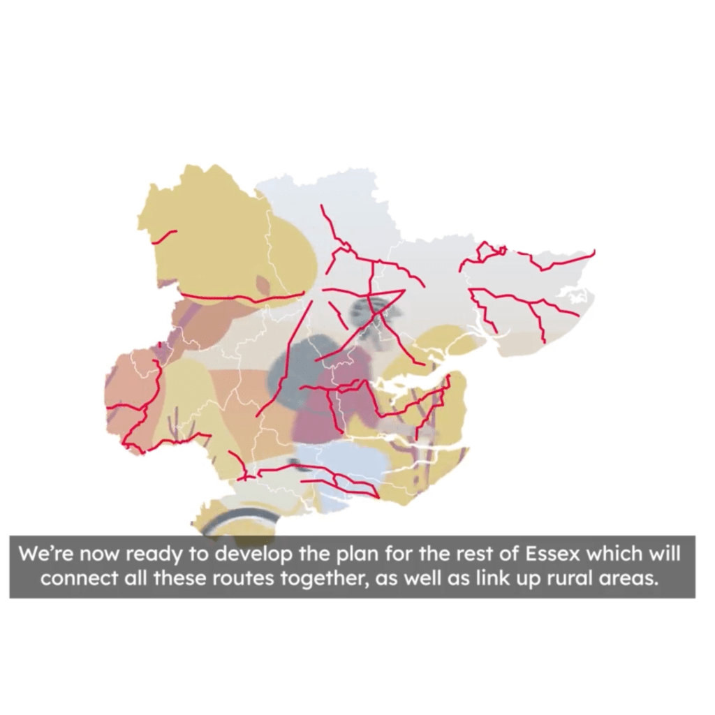
There are no maps or route descriptions for walking that I have seen so far and the cycle routes seem to entirely be on existing roads. When I go into the survey and more of the supporting documents I’m hoping to see more ambition: elements like segregated cycle routes, and a network vision. At the very least I’m expecting something on ‘quiet lane’ designations, continuous pavements, safe crossing points, speed restrictions and traffic calming measures
