Tag: Maps
-
Dengie Marshes Wind Farm

The proposed Dengie Marshes Wind Farm is moving forward into a phase of public survey and persuasion. (A company called Dengie Marshes Wind Farm Limited was incorporated on 18 October 2024 and shares directors with Blenheim Renewables, the company which initiated the project.) The project has a website and is holding a series of consultation…
-
Planetary
The post discusses the evolving relationship between global ecological crises and local actions, emphasizing bioregionalism’s focus on sustainable living within local environments. It critiques contemporary political responses to climate change, highlighting tensions between capitalist interests and emerging leftist alternatives. The text questions the effectiveness of local actions detached from broader, non-capitalist movements focused on global…
-
Bursou Two
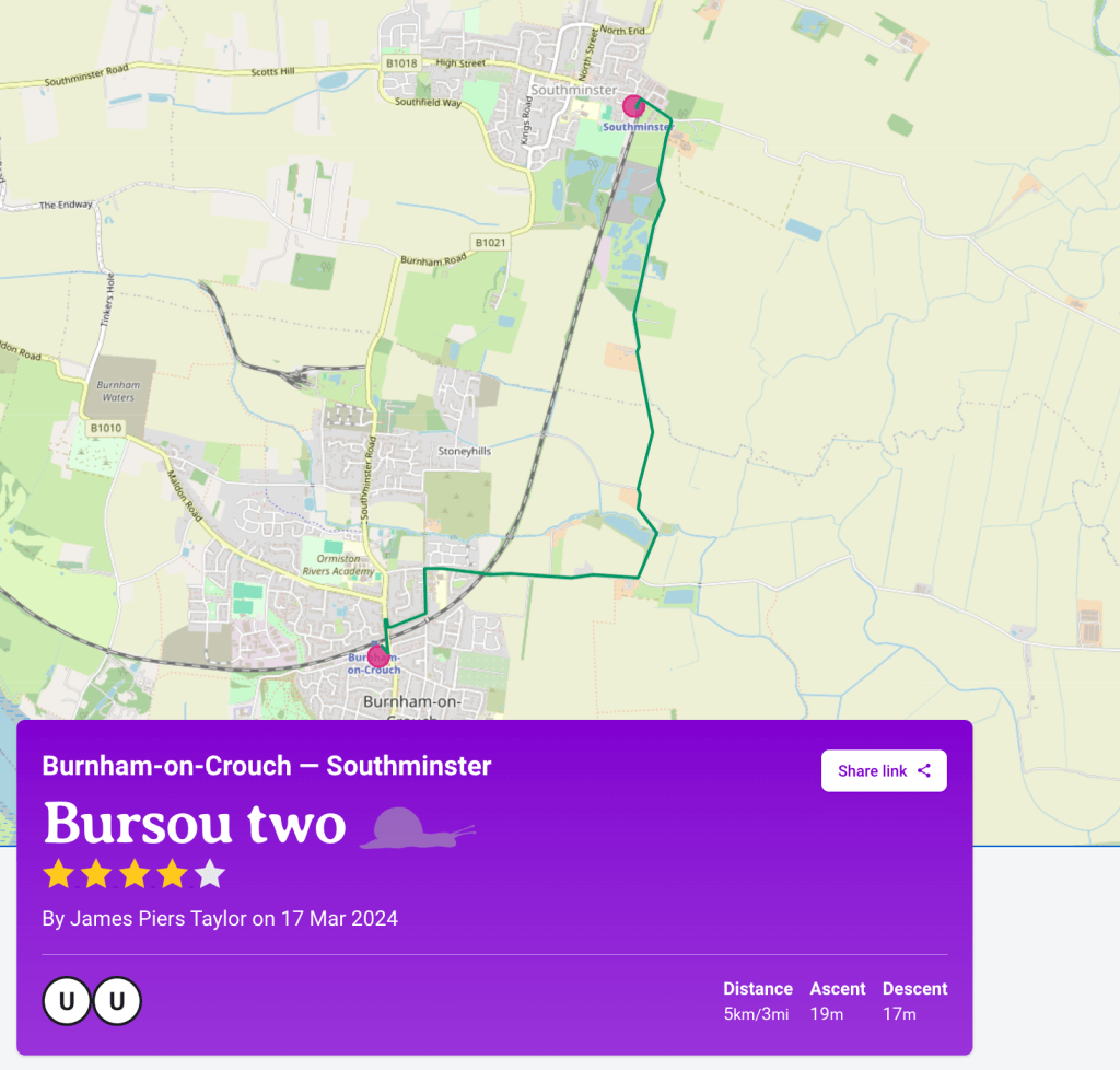
In the previous post, I mentioned that the Slow Ways route Bursou One is one of three footpath-orientated ways between Burnham and Southminster. I committed to adding my preferred walking route between the two as an additional Slow Way. It’s now been added as Bursou Two. Below, I have appended my route description from the…
-
Bursou One
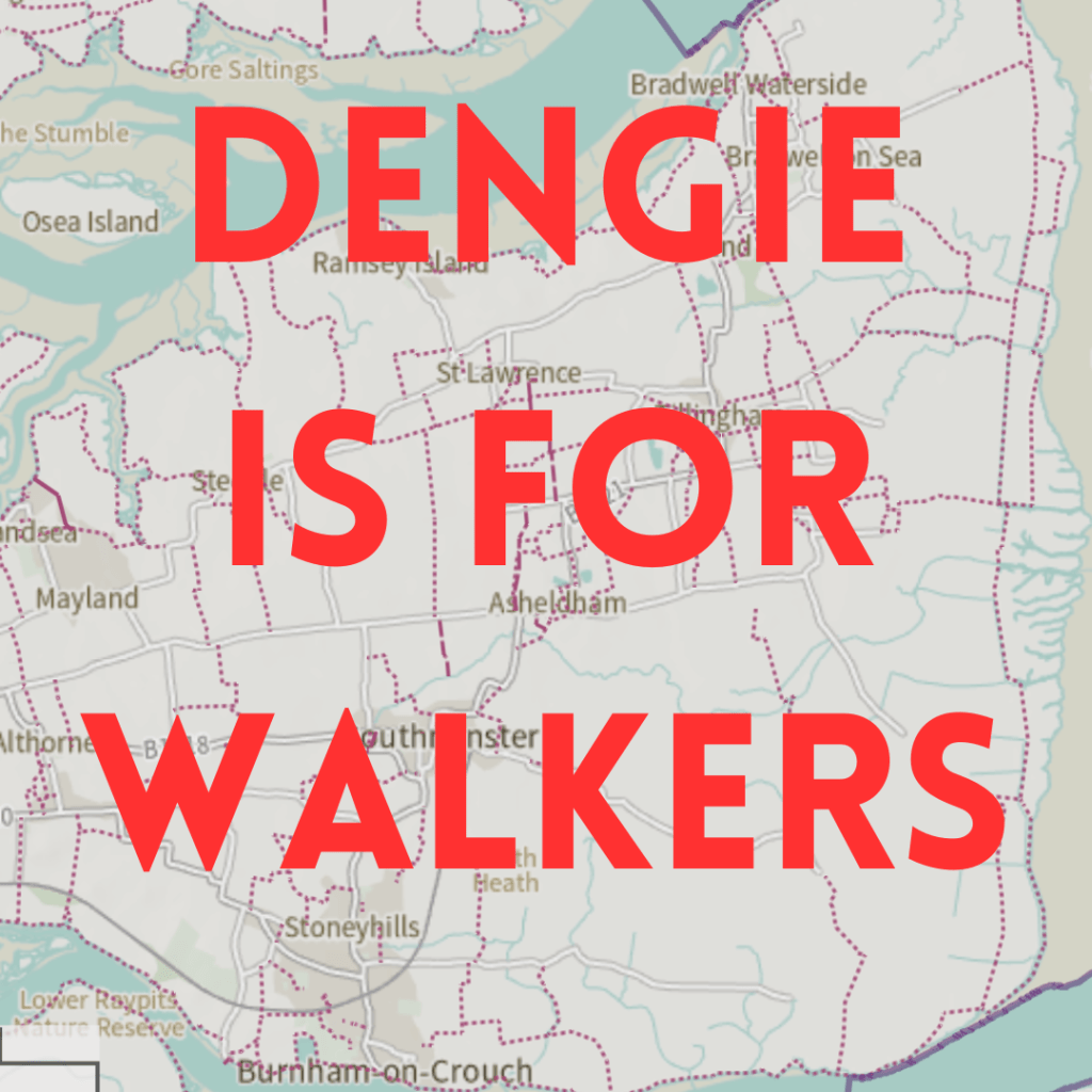
After writing about the role public transport, particularly the railway, must play in planning local decarbonisation, I will next write about the role of active travel – walking, wheeling and riding. Before I return to the desk-bound dissection though, it’s time to get outside.
-
Zeroing In
I am grateful to Tony Fittock (District Councillor for Althorne ) for letting me know that the process of creating a new Local Development Plan for Maldon District has begun. So my previous post on the matter revealed my own ignorance of the Maldon District Local Development Plan (LDP) Review: Issues and Options Consultation, which…
-
Soviet Dengie
-
Managed Retreat #2
After a few false starts, reconsiderations and revaluations since the first issue, work has commenced on issue 2 of Managed Retreat. The image above is part of the prototyping phase for the cover. The pink shape is the outline of the Dengie peninsula after
-
Back to the Strandline
This week Essex Live brought back the Climate Central Flood Map story that featured in the last post. This time around the story, and its associated maps, were accompanied by some welcome discussion of the implications and possible mitigation from Drs Natalie Hicks and Tom Cameron of the University of Essex’s School of Life Sciences.…
-
Vulnerable to Flooding
Lots of the local ecologically concerned folk are sharing this news story based on the Climate Central flood map update using the CoastalDEM® v1.1 digital elevation model. I’m not immune to doing so myself. Combined with the recent devastating floods in the north of England these projections seem to offer a warning from the future…
-
Defining bioregions in these islands III
Ed Tyler has written an interesting response to the previous posts in this series (I, II) on his bioregioning site. He makes a number of interesting points that are worth reflecting on, but here I’ll limit myself to his reference to the Watsonian Vice County map. I first came across the Watsonian Vice County map…

